Aug 3 – Aug 7
The Brooks Peninsula is believed to have been untouched by the last glaciation, leaving behind unique plant species. The peninsula sticks out like a sore thumb from Vancouver Island, often forming a weather system of its own. Solander Island regularly reports the strongest winds on the west coast. With a bit of good planning and luck, we managed to sail around the Peninsula in calmer than average conditions.
We left Winter Harbour quite late, and bobbed up and down in the swell out by the Quatsino lighthouse, wondering if we could make it to the next anchorage in one piece. The sailing was really good down to Klaskino anchorage, about 12 miles away. With the wind at our back, we were sailing on a broad reach the entire way down at 6.5 to 7 knots.
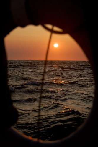
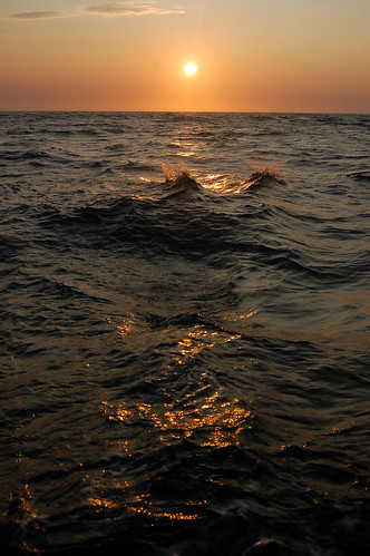
A race against the sun.
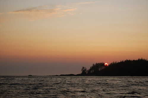
Sunset over the Pacific Ocean
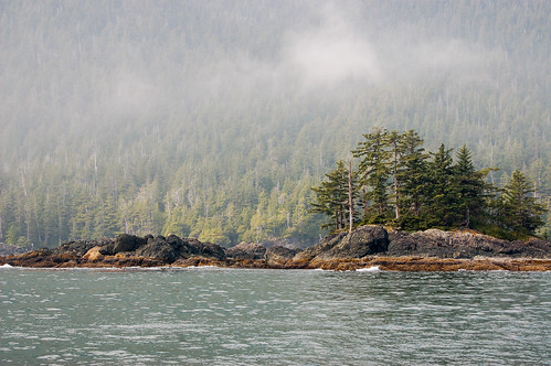
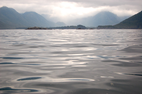
West coast scenery
A lot of these places on the west coast would be quite difficult to get to without a chartplotter, especially if you’re not familiar with the area and it’s dark. There’s countless rocks, some that you can see, and others where you either see kelp floating above it, or just swells crashing over. Scouler Entrance was no exception, and we were thankful for that piece of technology.
The next day we explored the Klaskish basin, an almost landlocked paradise, entered via a narrow 20m wide channel. The Klaskish basin was quite a spectacular sight. We were close to East Creek, which was once one of the last unlogged valleys on Vancouver Island, until 2003. I had heard about this place, supposedly a magical place, one of the greatest rainforest on the planet. Although we could see the scars of logging higher in the valley, the Klaskish river estuary has been protected, a really neat place to explore. We took the dingy up the river, but our journey ended too soon when the river ended where several large trees had fallen over it.
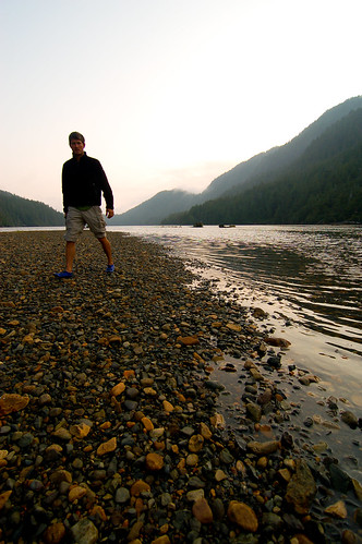
Ed walking along the shores of the Klaskish River
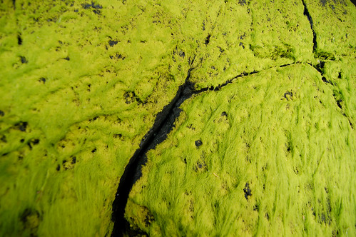
Bright green moss contrasting the black basalt
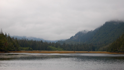
The Klaskish River estuary
Next up was the rounding of the Brooks Peninsula. The weather was quite calm that day, and we had a more or less uneventful rounding. In fact, we probably motored most of it as the winds never picked up over 10 knots until we reached Solander Island.
Looking at the Brooks Peninsula.
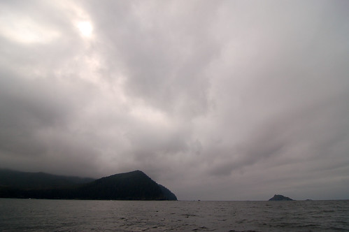
Approaching Cape Cook and Solander Island. It was cloudy and threatening to rain, but the water was quite calm.
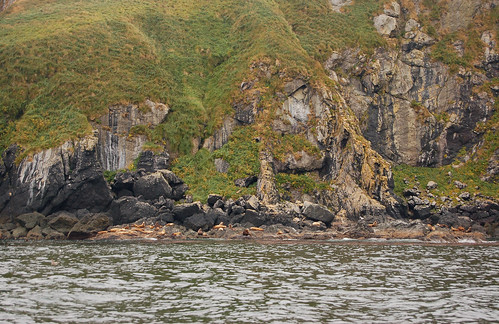
Solander Island, an ecological preserve off-limits to humans. Ed wanted to anchor Salus and take the dinghy to shore, but I convinced him that we shouldn’t trample over such an amazing place. The whole island is craggy, covered in moss, and every square inch seemed to be filled with wildlife.
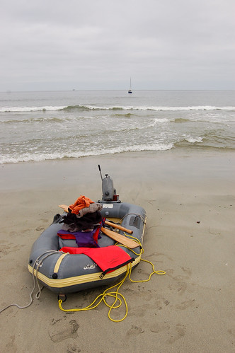
Beach landing.
The next logical spot to stop around Cape Cook is Columbia Cove, a protected anchorage, with a trail leading to this sandy beach facing the Pacific ocean. The water was quite calm, so Ed decided to anchor the boat close to shore, and we took the dinghy on its (and our) first surf landing. I was quite amazed that we didn’t flip the dinghy. We thought the tide was going out, so we didn’t pull the dinghy very far up the beach. We would later regret this.
We greeted the kayakers who were on the beach, on a guided expedition exploring the Brooks Peninsula. They were quite fascinated by our dinghy landing, mostly amazed that we didn’t capsize, and hoping for the same result on our way out. After exchanging stories and sharing a dinner, Ed and I set off towards the dinghy. We were wrong about the tide, the tide was slowing coming up, and our dinghy was now in the water, almost completely filled, along with our extra clothes. Under the nervous watch of the kayak guide, who was standing on the beach wondering if we would need a rescue, we launched into the crashing swells. After several failed attempts to break through the surf, we must have done something right as we emerged above from the beach, much to the cheers of the spectators on the beach. We were completely soaked, the dinghy was filled with water, and Ed was more or less inebriated.
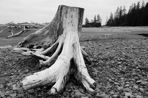
Massive stump on the beach at Columbia Cove.
The Maiatla anchored in Columbia Cove. Onboard was a friendly family from Nanaimo, also sailing around Vancouver Island.
The next stop was Battle Bay, an expansive stretch of sheltered water, named for the battles that took place between the local tribes and the Haida tribe. There was suppose to be an old native village nearby, but we never found it in the diminishing light.
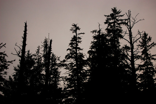
Trees at sunset.

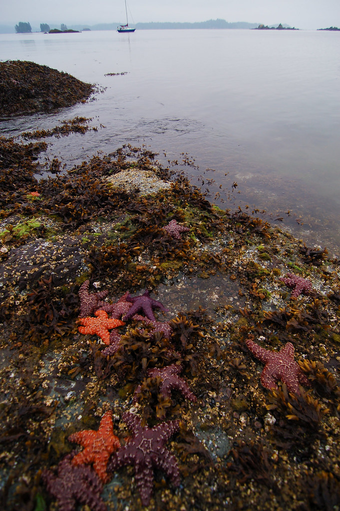
Intertidal life.
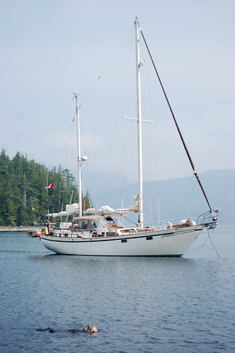
Salus anchored at West Battle Bay.
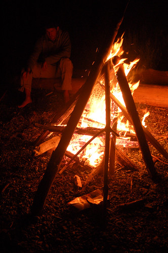
Beach bonfire at Battle Bay