May 23, 2020
Out of the three Needles north of the Lynn Peak ridge line on the North Shore Mountains, the South Needle is the easiest one to access. With a bike, an ascent of the South Needle makes for a very pleasant bike and hike day from Lynn Valley. I’ve been staying close to home for recreation in line with the current BC COVID recommendations, taking advantage of the incredibly easy access to the North Shore trails from where I live.
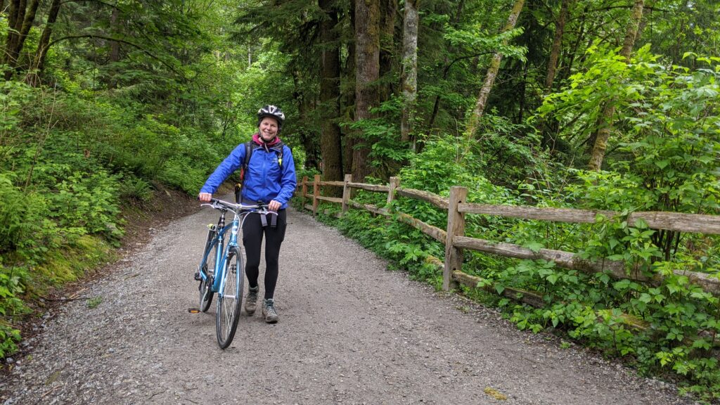
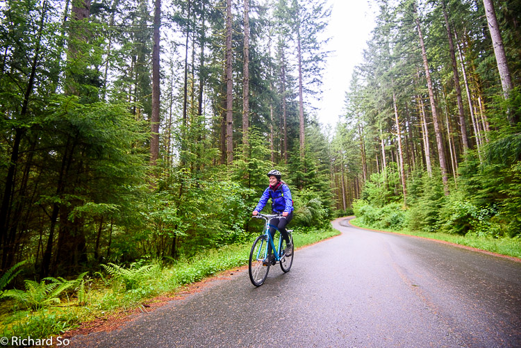
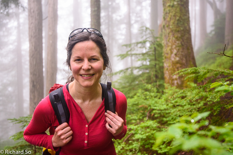
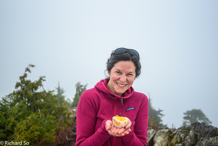
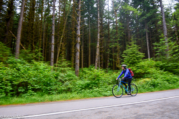
At the moment, the parking lots at Lynn Headwaters and the Lower Seymour Conservation Reserve (LSCR) are closed as a part of the COVID response. There’s still plenty of street parking along Lynn Valley road, with the ones closer to the end marked as 2 hours parking only. This doesn’t matter to me as I rode my bike up to meet Lisa up there on a drizzly Saturday morning.
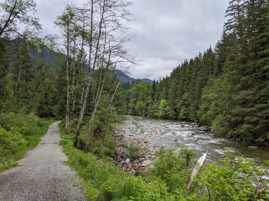
Single lane traffic is in effect across the pipeline bridge. Later in the day, there was even an attendant to direct flow through to maintain physical distancing on the narrow bridge. To get to the trailhead for the South Needle, it’s a short 5 km cruise along the LSCR trailway, a non-motorized paved road to the Seymour Dam. The trailhead starts on the north side of the Hydraulic Creek bridge, before you reach the picnic table. There’s an obvious trailbed, with flagging, but no signage. We stashed the bikes in the woods. More energetic runners/hikers could make a bigger loop by first running along the Fisherman’s trail and then up Hydraulic Connector to this point. Or approach from the south, travelling north along the Lynn Peak ridgeline towards the South Needle.
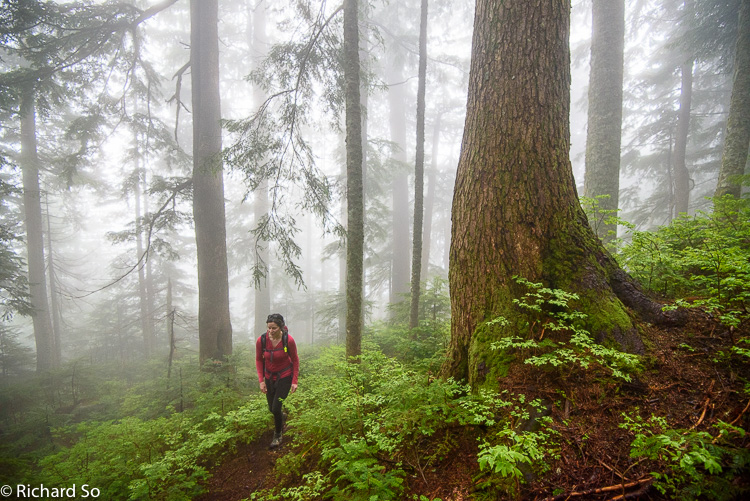
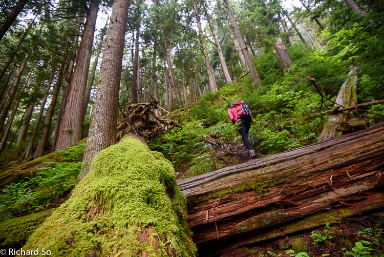
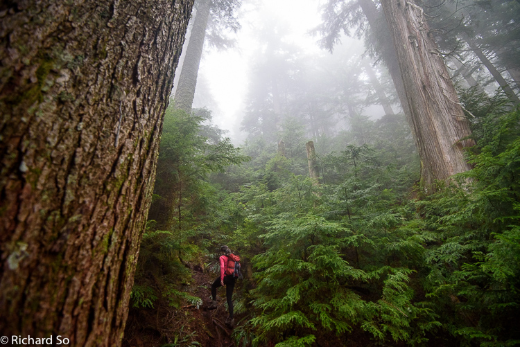
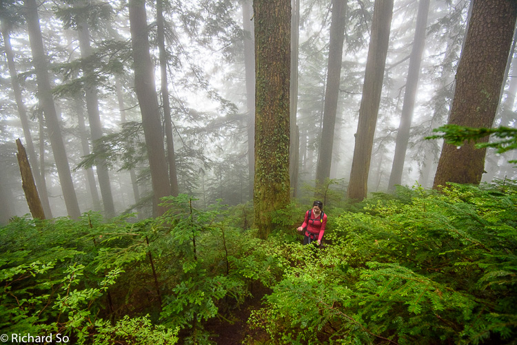
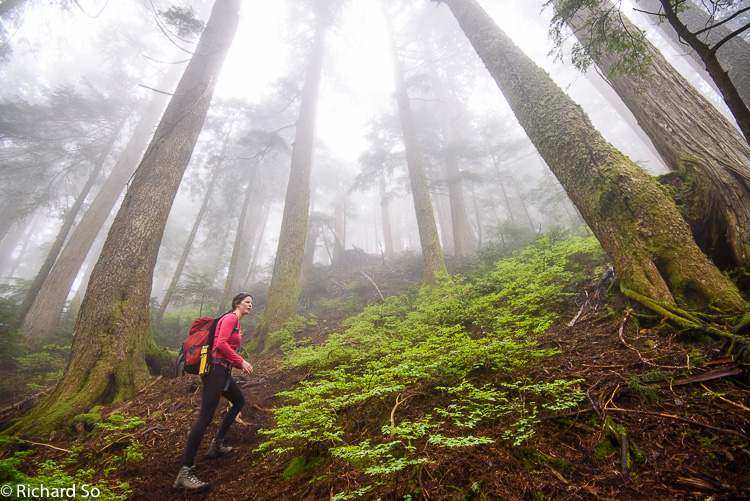
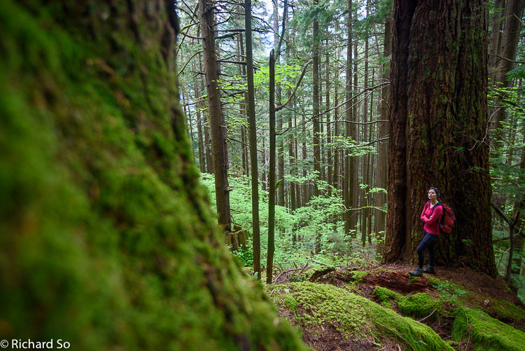
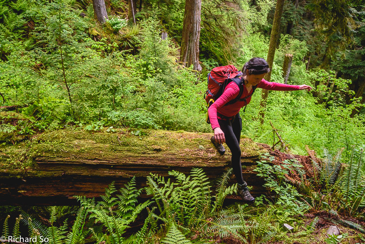
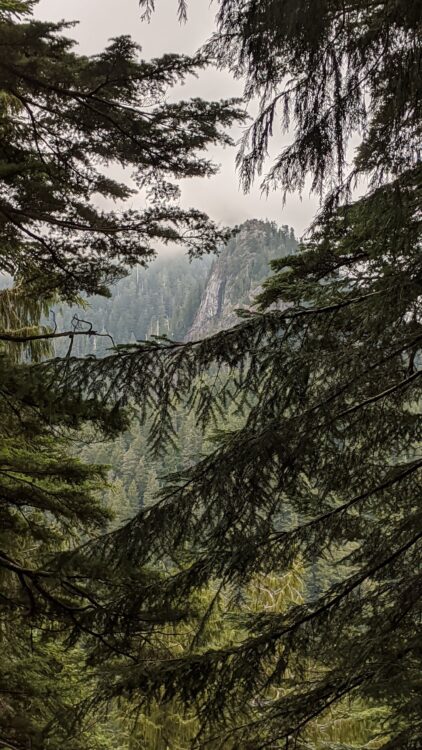
It was a classic shore day, hiking steeply straight uphill, in a backdrop of mist through the stands of second and third growth Douglas Firs. Total elevation gain is ~900m to the summit. The trail goes uphill all the way to the junction with the Lynn Peak-South Needle trail. From here, turn right and follow the trail north. There are some small up and downs, so it feels like the route is longer to the summit. The last section to the summit has a few rocky sections, but all doable in the wet with minimal exposure.
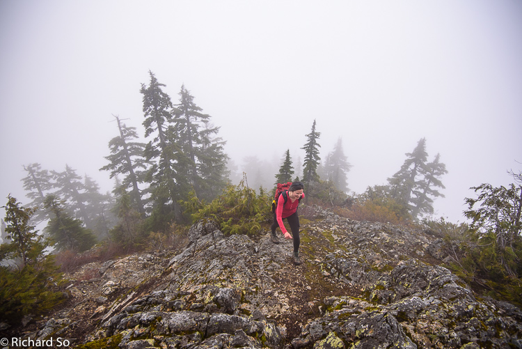
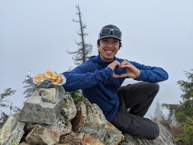
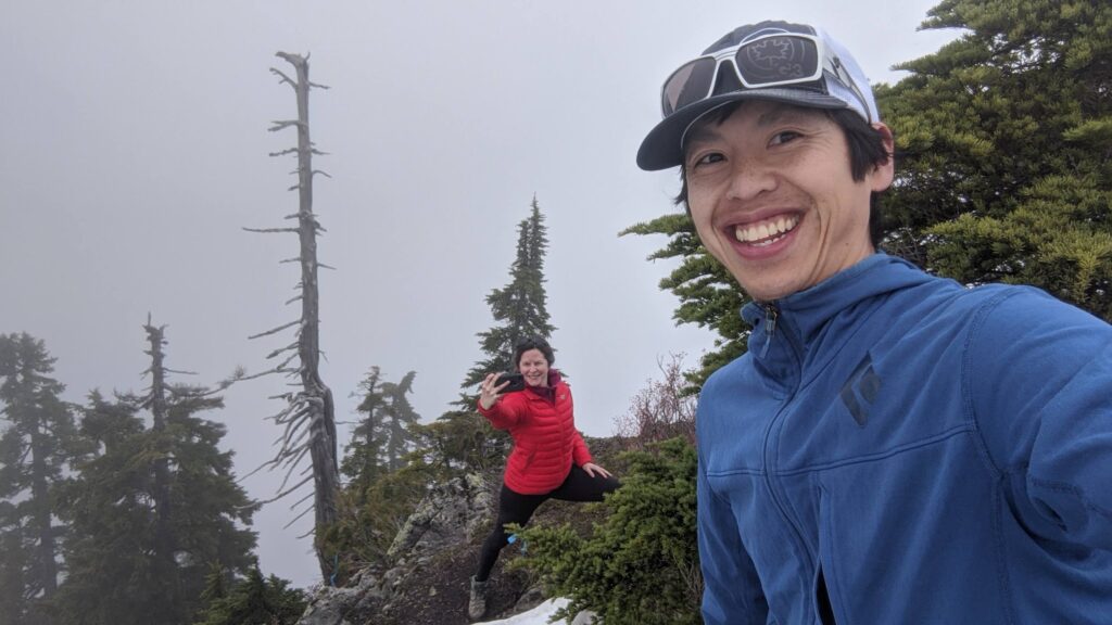
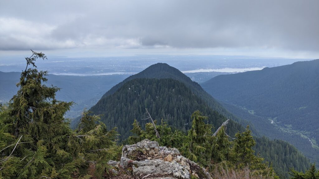
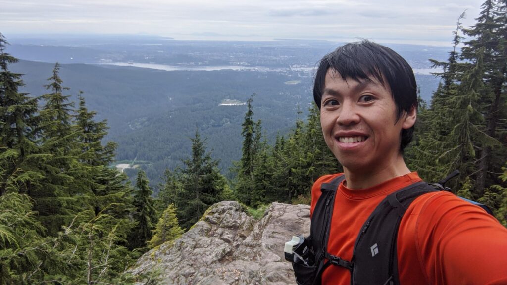
We topped out on the summit, high in the clouds, with no actual view. Normally you would get a good view of Fromme and Seymour and the city. If the weather was better, it would be fun to continue north to the Middle Needle. The hardest section of the Needles ridgeline is suppose to be the section dropping north off the South Needle. We took a look at it, and given the wet rock and lingering snow, I saved it as a trip for next time as part of the Needles Traverse from the north, which is Norvan to North Needle to South Needle to Lynn Peaks. It’s recommend to attempt this from north to south, as the north sides of the peaks have steep scrambly bits that are easier to ascend than descend. However, I ended up doing this as a trip in June once the snow melted, from the South to North, and then running down the Paton trail and back along the LSCR trailway for a tidy loop.
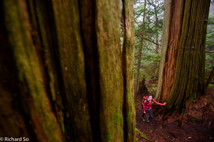
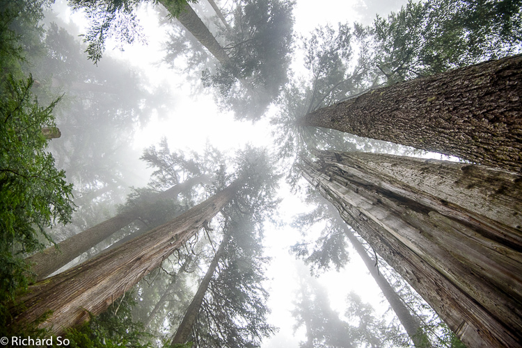
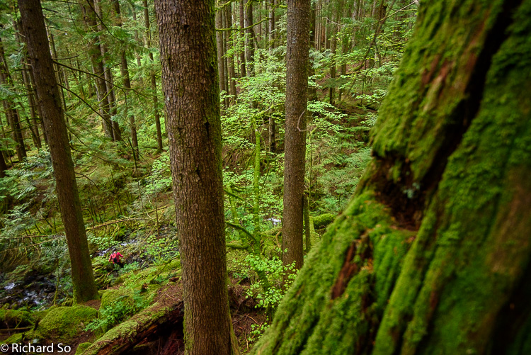
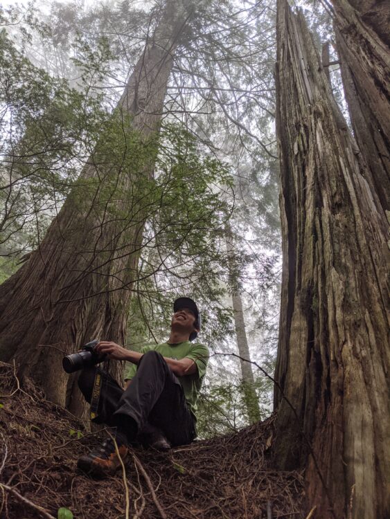
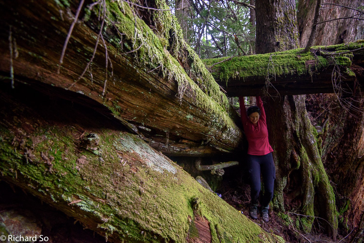
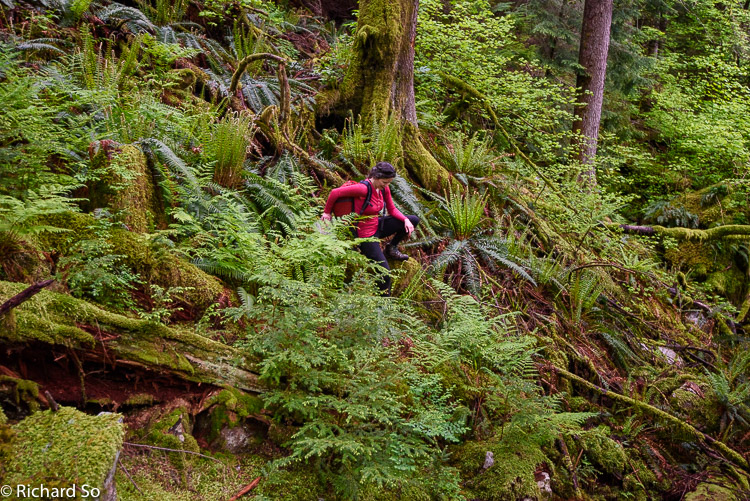
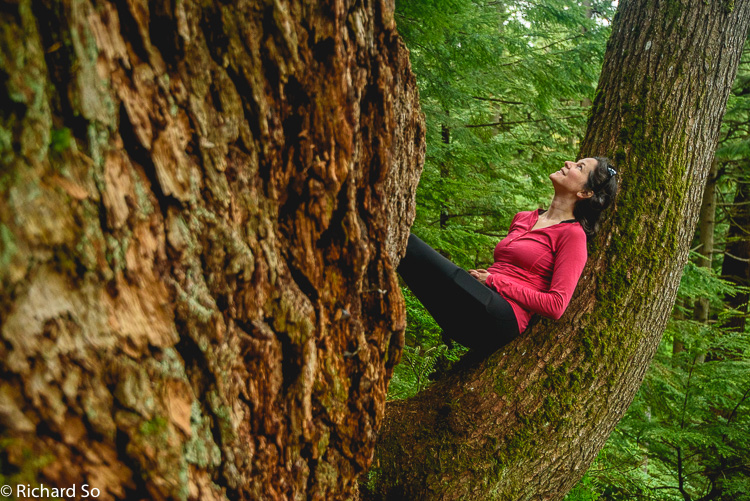
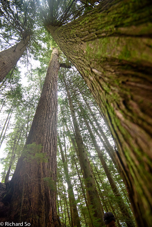
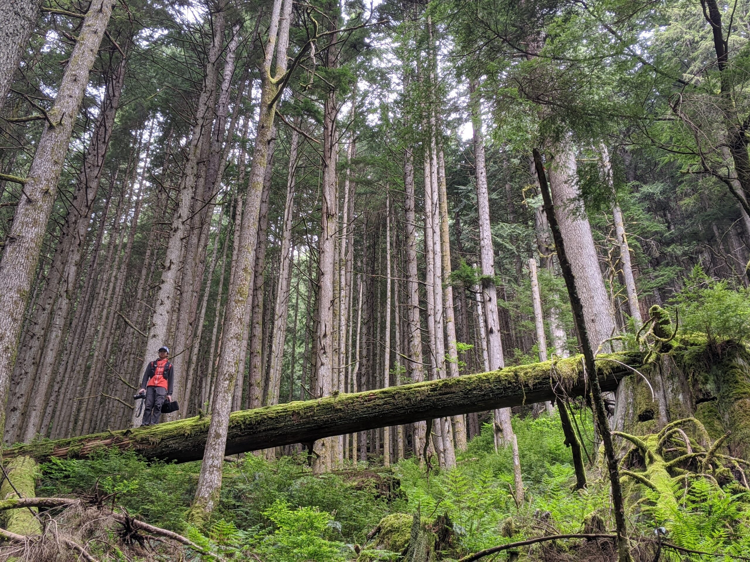
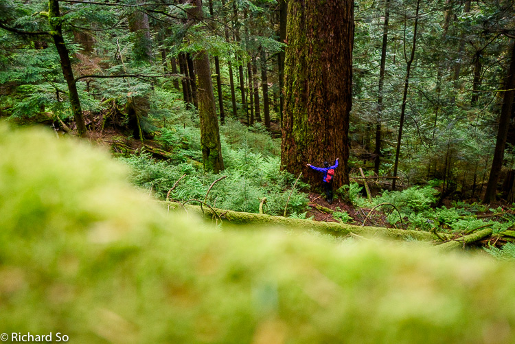
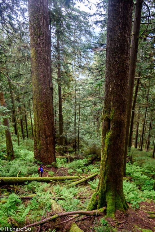
On the way down the Hydraulic Creek trail, we branched off to explore the Temple of Time. This is a beautiful old-growth stand of some impressive Douglas Fir. There is no real trail through the area, with occasional flagging and some signs of a trailbed. However, getting to the base of these giants is worth the effort of minor North-shore style bushwhacking, with uncertain footing in rotting cedar, ferns, and maybe even Devil’s club if you’re off route. For a much better description of this area than I could attempt to write, see BC Tree Hunter’s excellent post about these trees. If you’re in the neighbourhood, it’s well worth the effort to pay a visit to these forest giants. Give yourself plenty of time, the distance between the trees isn’t far, but the forest travel can be rough.
Does the road wind up-hill all the way?
Yes, to the very end.
Will the day’s journey take the whole long day?
From morn to night, my friend.
Christina Rossetti, “Uphill”.

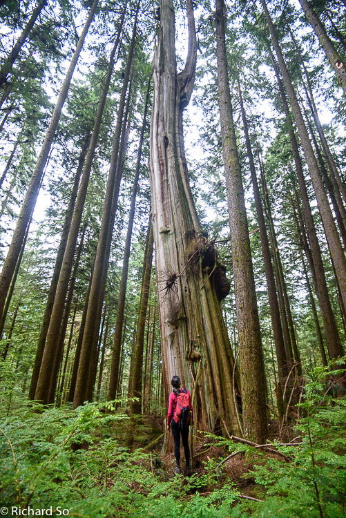
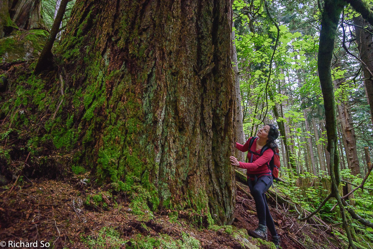
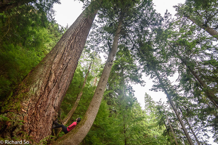
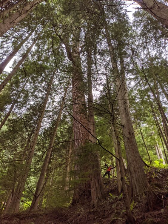
“The Temple Giant is without a doubt one of the most impressive Douglas Firs I have seen, certainly ranking in the top five as far as British Columbia is concerned. Its diameter is well over eight feet at breast height and it pierces the skies at a height of over 250 feet! It may be as old as 700 years in my estimation. “
The Temple Giant, BC Tree Hunter
May 24, 2020
The next day, without anything else better to do, I decided to make another last minute visit to the South Needle when I noticed the clouds lifting on the North Shore Mountains. After sleeping in, enjoying some sourdough pancakes, and then darning up my holey running socks, I was ready to leave my house by 1:40pm.
I biked up again to the LSCR, which is probably faster than driving for me once you factor having to look for a parking spot and then running across to the LSCR. I left my bike at the LSCR (maybe 2:15pm?), and continued along the Seymour Valley Parkway to the Circuit 8 intersection on the right. I’ll probably bike to this point next time, and then take the Rice Lake trail connector on the return. From here, I followed Circuit 8, down the connector to the Fisherman’s trail, and jogged north to the Hydraulic Connector. I climbed up to the Seymour Parkway again, and in less than 24 hours, I was grinding up the Hydraulic connector.
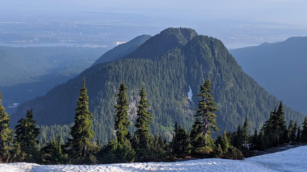
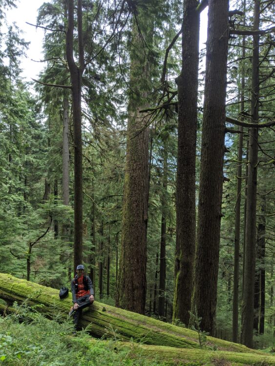
I left the parkway at 3:14pm (actually!), and reached the summit of the South Needle, again, at 4:28pm. It was a sweaty climb up, but this time there was a view! After a short break to take in the view, I started the journey south along Lynn ridge and Lynn Peaks.
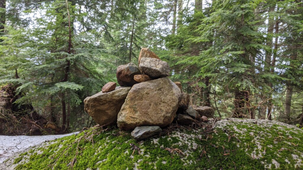
Some of it was flowy and runnable, and some of it was dancing through snow and mud. An hour later, I was on top of the South Lynn Peak, which has absolutely no view at all, just a forested bump with a cairn on a rock to indicate a summit. I forgot how terrible the trail down from Lynn Peak is, a mess of rocks ready to roll your ankle. I managed to gingerly jog down, and made it back to my bike for 6:50pm, so I’m guessing the loop took me just over 4.5 hours. When the snow melts, I’ll be sure to do this again from Norvan Pass, and connect over the North and Middle Needles too!

Great trip idea but a wet day for it!
I’ve been going to the WVan/Horseshoe bay trails around Eagle bluffs lately for some easy trails with very low traffic.
Glad you’re able to find some nice and quiet trails too, it wasn’t too wet yesterday, but certainly wouldn’t want to do this trip in the rain!