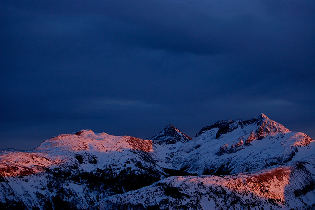
Alpenglow over Jim Kelly Peak (centre) and Coquihalla Mountain (right), as seen from Needle Peak on a February morning.
In October, I made two trips out to the Coquihalla for two awesome days of scrambling. There was just a light dusting of new snow, but I thought that a traverse of the Coquihalla Massif would make for a nice day out. My last trip to this area was in 2007, also in October, when we just scrambled up Jim Kelly Peak, as there was too much snow to attempt anything else.
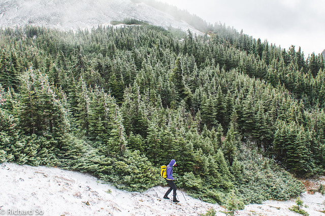
You can see this peak while driving on the Coquihalla highway, an isolated massif to the south. To get here, drive over the Coquihalla summit, and then take the Coquihalla Lakes exit to get to the Tulameen FSR. Continue driving along this logging road for 18.3km, to get to the deactivated Illal Creek branch road. High-clearance is required for this road, with numerous waterbars for the next 3km’s. I parked just before the last waterbar, before a large landing where it’s not possible to drive any further. There is a good trail beyond the old road, after crossing the SW fork of Illal Creek. The trail climbs up through the forested ridge, and then breaks out into the open alpine very quickly.
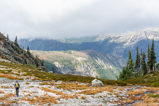
I picked a location on the Coquihalla because it seemed to have the best weather for the weather, further east from wet weather that was drenching the city. Just as Lorraine and I started climbing up the scree slope at treeline, fat snowflakes started falling from the sky. It was windy up on the open plateau that is Illal Meadows. It tends to get windy here on days like today, with the low pressure offshore and the high pressure in the interior east of the Cascades. It stopped snowing on us, but it was still cold and the clouds were swirling rapidly. Coquihalla Mountain was still out of sight, and we continued hiking across the pleasant terrain, mostly flat volcanic rocks, heather and some snow. We continued west to the three-way pass, between Coquihalla Mountain to the west, Illal Peak to the north, and Jim Kelly to the east.
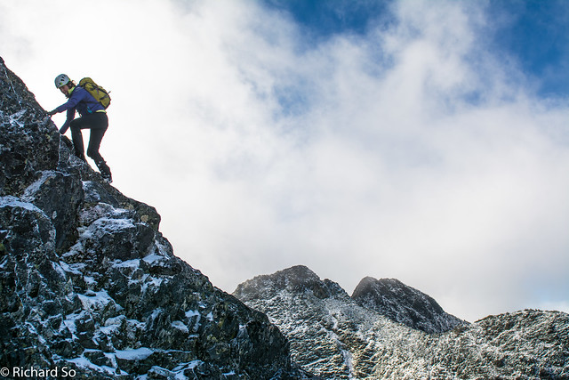
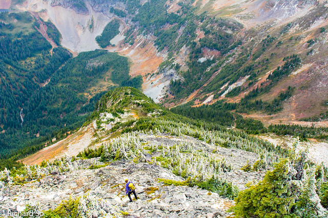
The clouds parted and I could see fresh snow caked all over the top of Coquihalla Mountain. I wasn’t sure how the scramble along the ridgetop would go, so I thought we could try to contour around the north side of the mountain. I started dropping down to the north into Hidden Creek, slipping and sliding along the wet brush. I quickly realize that we would have to lose a lot of vertical or do a long traverse around the north side to get to the west ridge, not a very efficient route from this direction. We decided to go back up, and take a look at scramble up the northeast ridge of the east summit, and see how that was. With only my worn-out approach shoes, I was a little bit uncomfortable on the icy rock, as we scrambled up the 3rd class ridge. There was just enough snow and ice to make things a little interesting.
Coquihalla Mountain has three summits, all lying in a west-east line. From the top of the east summit, we continued across the sidewalk in the way, over another half a kilometre, over the central summit and up to the highest west summit. Apparently the hardest section is between the central and west summit, along a knife edge ridgeline that is suppose to be Class 4. For us, this was snow free, as we were climbing on the south side of the ridgeline, and it felt easier than the slippery ascent up to the east summit.
We descended the south ridge, which is also the easiest way up to the peak. We dropped down through the krumholz and talus, down heather slopes which were just past their peak fall colours. The key here is to pick up a cut trail at 1750m, which traverses along the south side of the peak back towards the Coquihalla-Jim Kelly col. We continued contouring around the south side of Jim Kelly, passing a lake and then back up north to pick up the Illal Creek trail. The timing was just perfect, as Coquihalla Mountain was now back in the clouds, after a brief afternoon clearing.
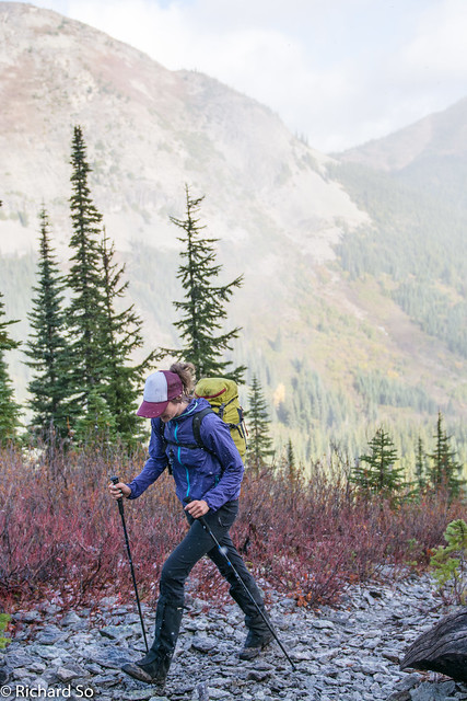
Hiking up the Illal Creek trail with light snowfall
Lorraine with Jim Kelly Peak in the clouds
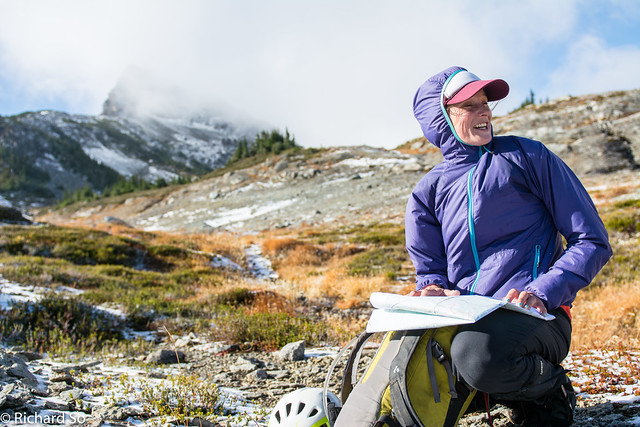
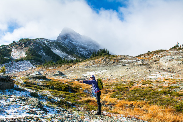
Figuring out which direction to go
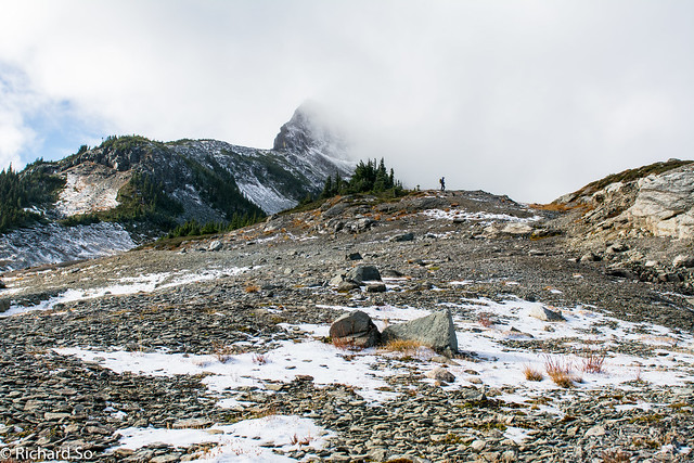
In and out of the clouds, with just a bit of snow here.
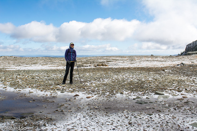
Big and open terrain up here
Hiking up to the three-way pass
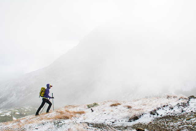
Dropping down towards Coquihalla Mountain
Heading down towards Hidden Creek. We didn’t drop too much further down.
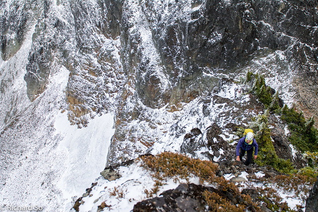
Hiking up loose terrain on the northeast ridge of the east summit Coquihalla Mountain
Lorraine scrambling up, with the central and west summit at centre.
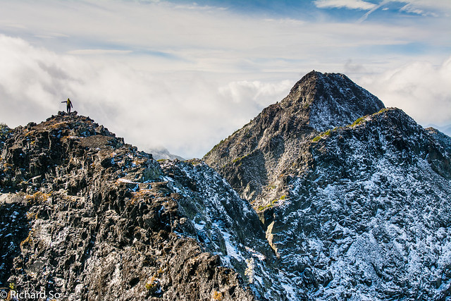
Sidewalk in the sky. Just follow the ridgeline to the summit.
Relatively warm in the sunshine, and cold and icy on the north side.
Definitely a recommended ridgewalk!
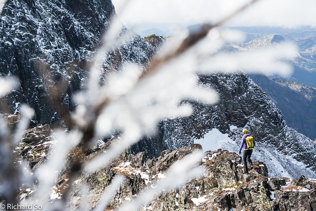
Icy branches
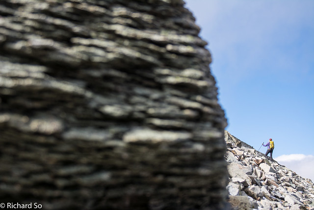
Last bit of scrambling up to the west summit
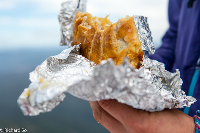
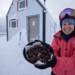
Mountaintop pastry
Looking across Jim Kelly Creek
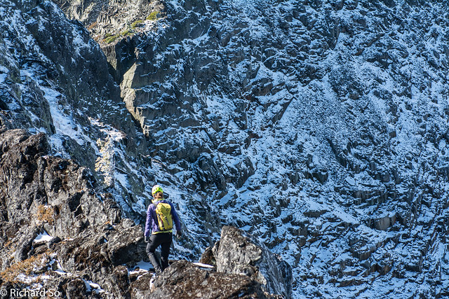
Descending the south flank of Coquihalla Mountain
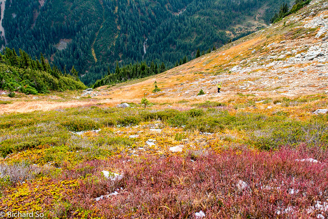
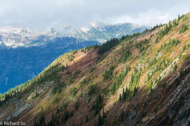
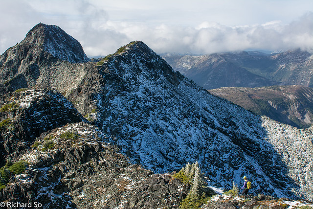
Fall colours on the Coquihalla. It never disappoints!
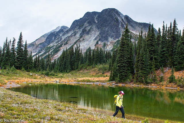
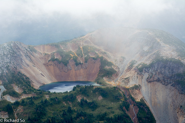
The small lake south of Jim Kelly, with Coquihalla Mountain behind. We went up the right skyline.