After the warm sunny day on the Coquihalla on the Markhor-Needle traverse, it was back to the rainy reality of autumn on the Coast. Despite the lousy weather forecast which called for mostly cloudy with isolated showers, Sarah Kate and I decided to go for a lap up the Blackcomb Buttress anyways. The route follows a vague ridge/buttress on the left side of the DOA couloir, a very popular ski line off Blackcomb Mountain. The description in Alpine Select doesn’t say much, except that “route finding is straightforward, with generous ledges, good rock and short-lived difficulties.”
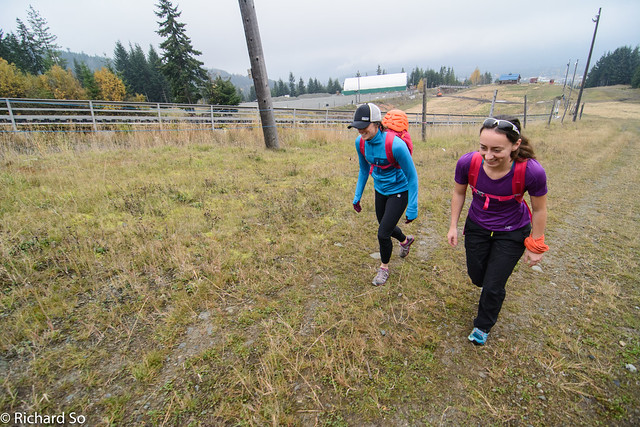
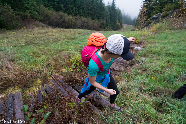
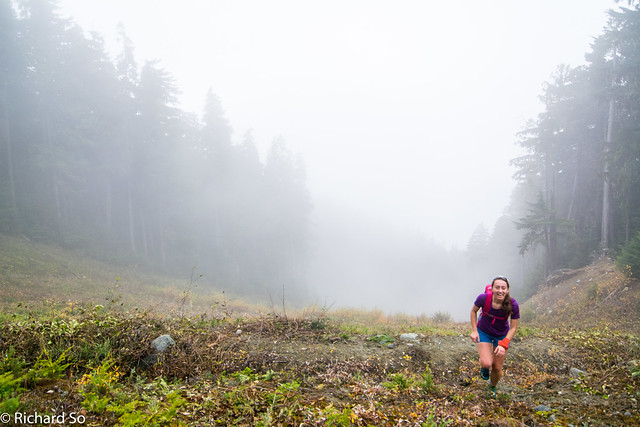
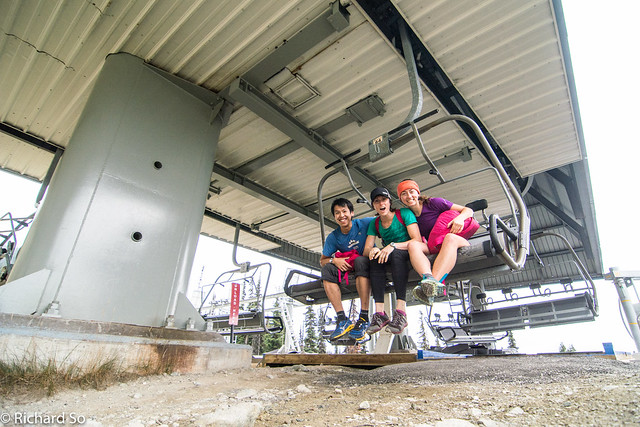
With the uncertain weather, we decided to pack a rope, a light rack, helmets and a harness just in case. Sarah had been up there on a sunny day without any of that, but we were unsure about climbing on the wet lichen. It was October, so the gondola was closed for the shoulder season. After a stop at Pure Bread, we started running up from Base II, going up Lower Gear Jammer with nobody else around. The weather wasn’t very inspiring, cloudy and foggy as we slogged up through the wet grass. The gradient mellows out as you get onto Sunset Boulevard, and I started running more of the flat sections. We were at the base of 7th Heaven after climbing up for two hours from the bottom. There were brief breaks through the clouds, giving us a grey view across to Whistler.
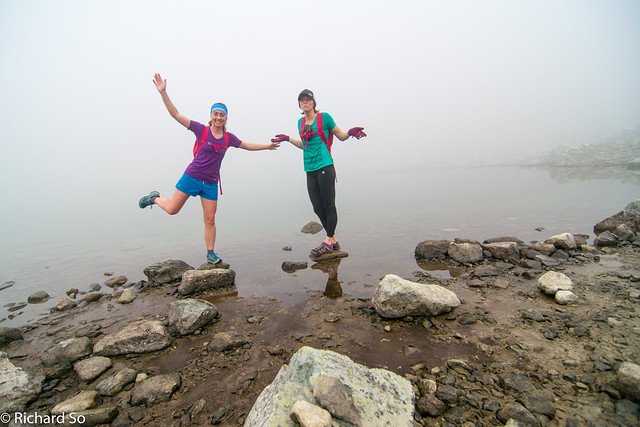
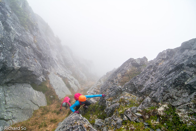
We continued up the ski run towards Lakeside Bowl, and then picking up a trail that took us up to Blackcomb Lake at 1915m. Most of the time, you can see Blackcomb from here, but the 500m of rock above us was covered in the mist. At least, it wasn’t rainy. We started climbing up the talus slope, passing the first rockband at 2000m. We continued climbing up through the talus, getting up to the next rockband at 2125m. In the fog, I was quite confused here, trying to navigate using my phone. Part of the problem was that I didn’t know exactly where DOA, and that the Blackcomb Buttress route doesn’t start until 2250m, near the exit of the couloir. These elevations are just based on Google Earth as I write this now. In the fog, we thought we were on route, and starting looking at the rock in front of us, at 2115m, on the lookers left side, well below DOA. Looking at the sat image, it’s pretty obvious we were in the wrong spot. Sarah started climbing up while I looked at my phone. The rock was slippery, and we decided to try and get to the Blackcomb-Disease ridge col instead of the intimidating rock in front of us.
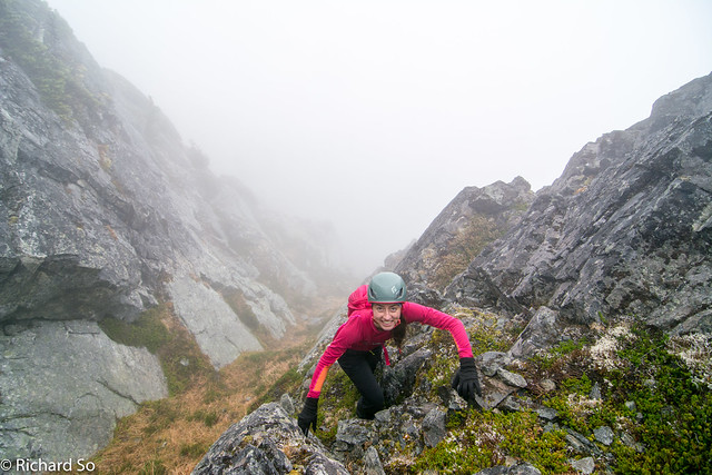
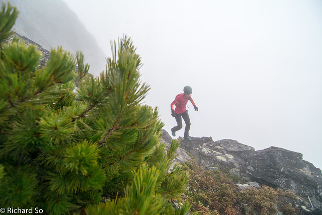
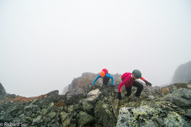
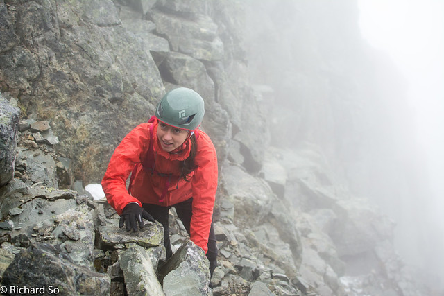
We went right and started plodding up more talus. Still foggy, but I knew we were somewhere near DOA as there were ski boundary signs, and abandoned ski poles everywhere. I think we saw the couloir, and then Sarah recognized the start of the buttress. It didn’t look too bad, mostly grassy ledges, so we started up, prepared to reverse our route if things got too sketchy. The best part of the route was definitely a nice rocky ledge, where I stopped to eat my chocolate croissant. We continued climbing up along the ledges. The rock was definitely wet now. The rope came out for a short section, a 100m below the summit. After some more disorientating wandering through the talus field, and looking at my location on my phone, we arrived on the broad summit.
There wasn’t much to see up there with the poor visibility. For the descent, we followed the open ridgeline to the northwest, down to the col at 2320m. I don’t think we took the best line for the next part, as we contour across talus slopes below the bump on the ridgeline, traversing at roughly at 2280m. Continue traversing until you pick up the gravel road, “Green Line,” dropping down the Seventh Heaven bowl. Instead of the ski runs, there is a vague trail that zigs zags down the bowl, staying west of the ski lift. I had no idea it existed except it showed up on my phone map. This was the best running of the day. We intermittently ran the rest of the way back down to Base II, except for a few sections where the grass was just too slippery to run on! Despite the so-so weather and some route finding issues, we were back at the car in just under six and a half hours round-trip. The only thing left to do was another stop at Pure Bread!
Starting up from Base II on the ski run
Wet grass and slippery wood
Foggy
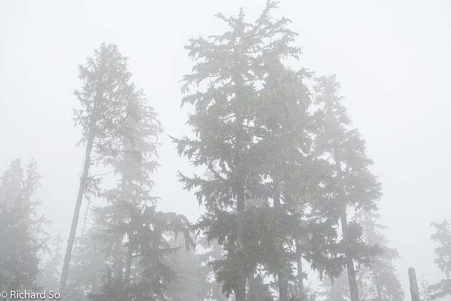
Still foggy
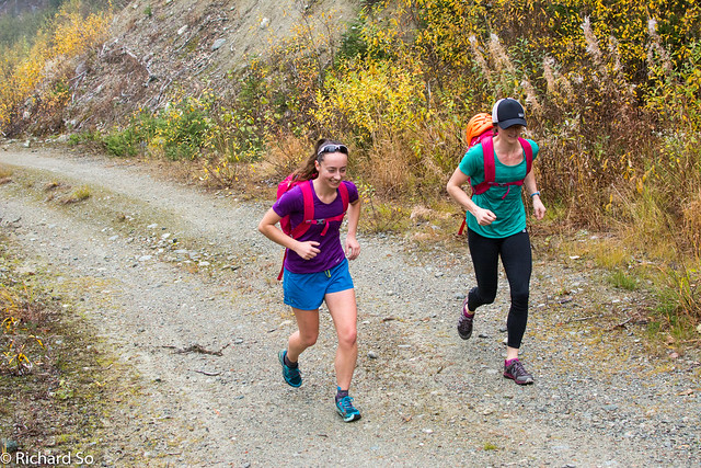
Running along Sunset Boulevard
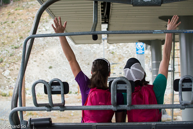
Can’t we just turn on the chairlift and go up?
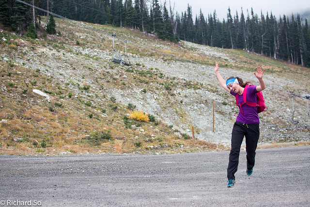
I was ready for ski season at this point!
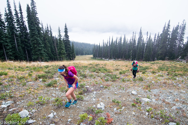
Slogging up more ski runs
Where is Blackcomb?
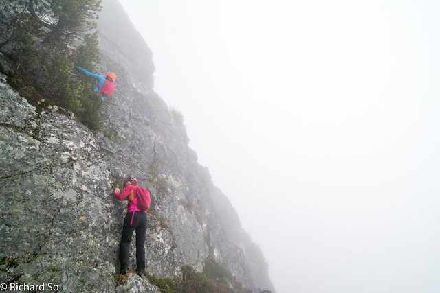
This was not the right way to go. Sarah downclimbed shortly after this photo.
This way worked.
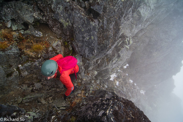
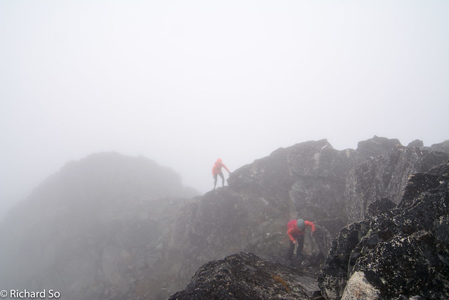
 Traversing across ledges
Somewhere on the Blackcomb Buttress
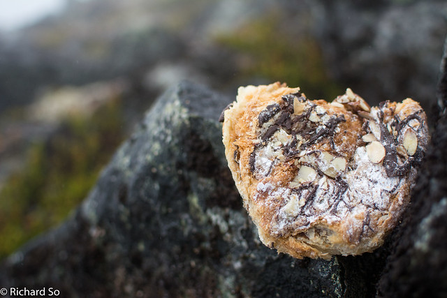
Best part of the day
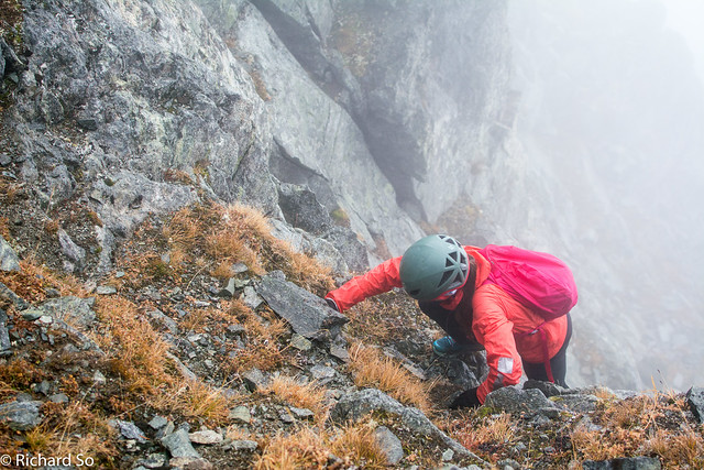
Scrambling up

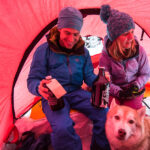
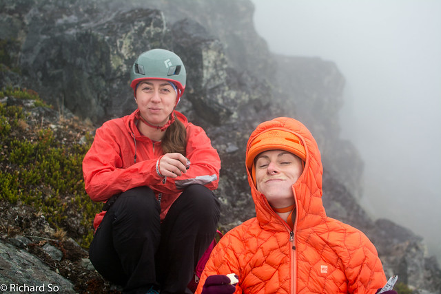
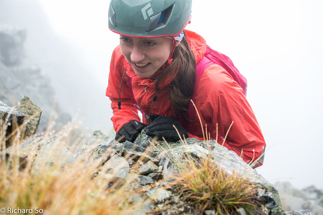
Sarah
Kate
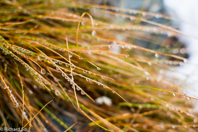
Definitely wet and slippery conditions up here!
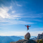
The top perspective, and the wide angle lens makes this chossy scramble look way more radical than it really was.
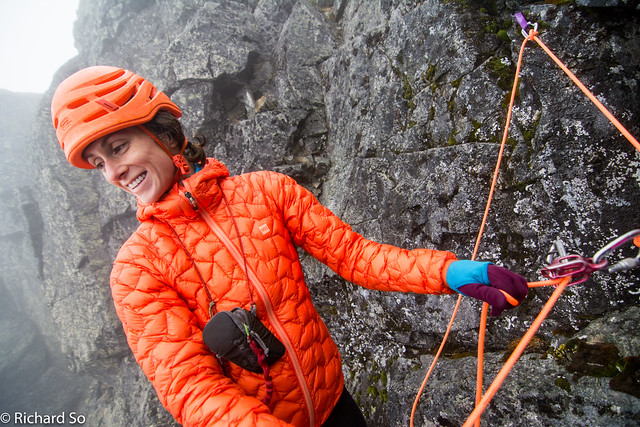
Sarah belays on a steeper section.
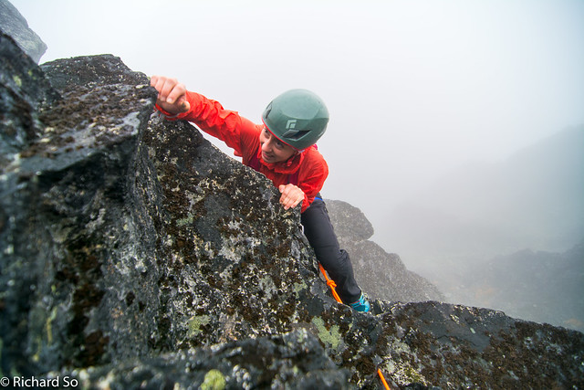
Kate sending on Blackcomb Buttress
I think we are near the summit
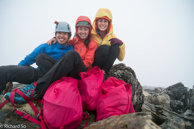
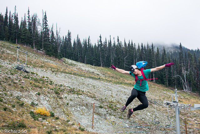
Yup, can’t go any higher. Sarah wanted us to go fast today, and lightweight MEC pink backpacks do exactly that.
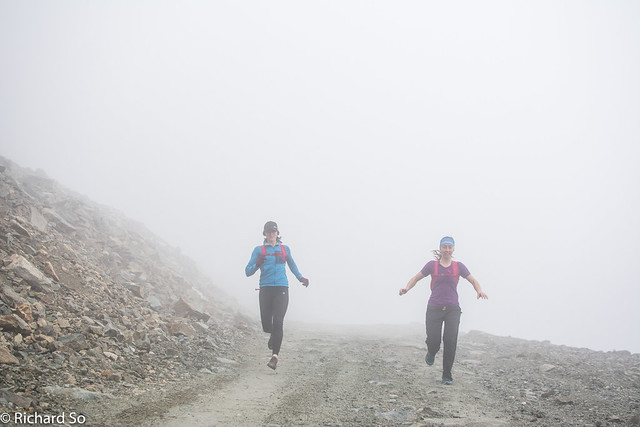
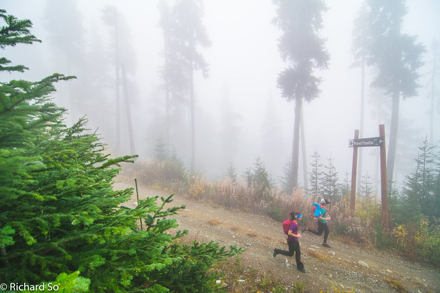
Running back down Seventh Heaven
Running back down Sunset Boulevard