June 30, 2015
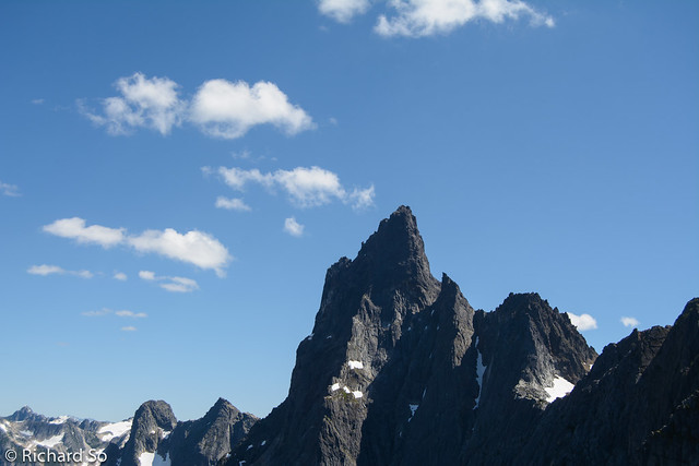
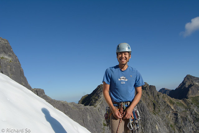
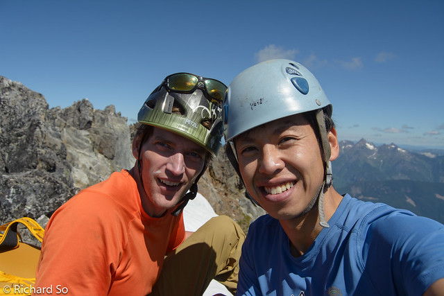
To celebrate Canada Day, Paul and I climbed the classic Northeast Buttress of Mount Slesse. This was my second time up here, and I’ve already written about my first climb here with Nick in 2008.
Nesakwatch FSR is in high-clearance 2WD conditions as of July 2015. There are up to ten shallow waterbars, two deeper ones, and a section of rocky road where additional traction could be useful. I drove to the trailhead in my Chevy Tracker, but there was also a mini-van parked at the trailhead. Unfortunately they had a flat tire when we returned.
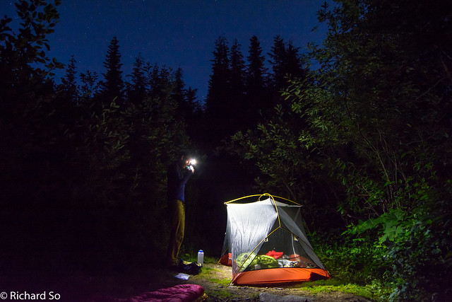
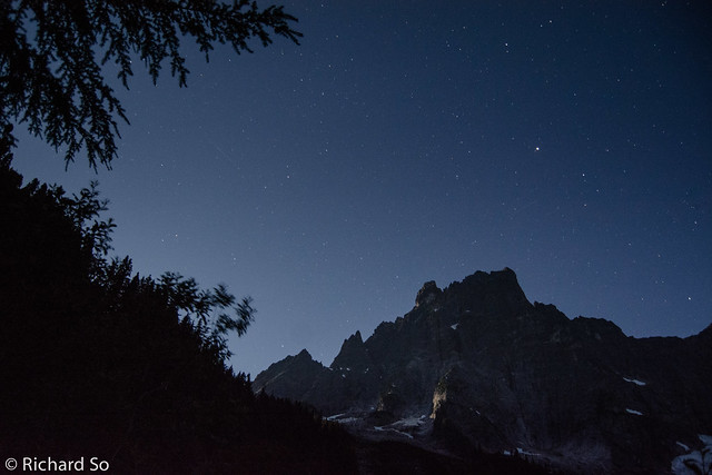
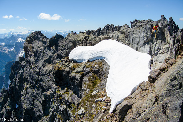
The trail along the old road is getting slightly overgrown, but still in reasonable condition. We drove to the trailhead the night before, and hiked up to the Memorial Plaque to bivy, approximately 0.75-1 hour from the car. There was surprisingly no bugs when we arrived at 11pm. The full moon was illuminating the north face of Slesse, and even in the dark, I could see that most of the snow on the Bypass Glacier was gone. This past winter was so dry that the Bypass Glacier barely formed, and the last two months of warm temperatures have melted most of the remaining snow. This is the year of the casual approach. In normal years, ascents of Slesse aren’t common until later in the summer when/if the Bypass Glacier slides. This will be a long season of ascents on Slesse.
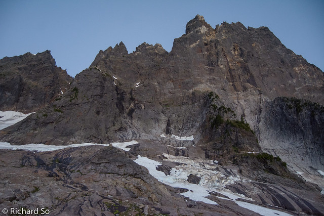
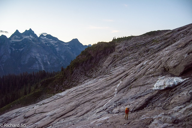
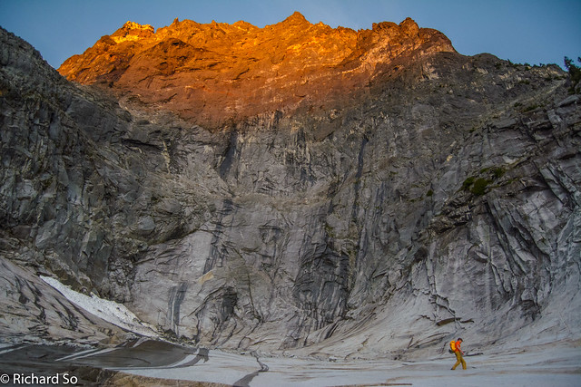
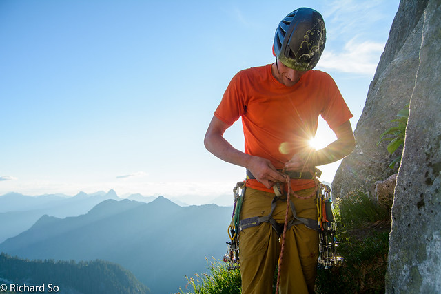
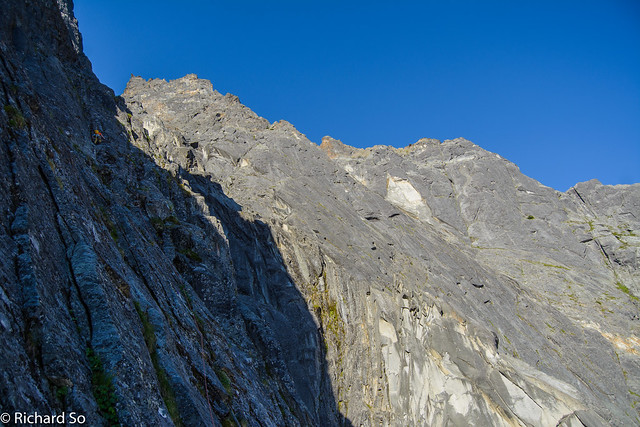
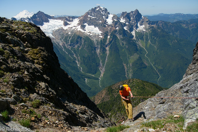
We left at 4am. Four other climbers who bivied at the car walked past us at 3:20am, and we caught up to them above the Bypass Ledge. As of July 1st, there are numerous spots to get water between the Propeller Cairn, the notch in the East Ridge, and the Bypass Ledge. I quickly crossed the hangfire under the Slesse Glacier and worked my way over the notch into the Bypass Glacier slabs. We scrambled to the top of the Bypass Ledges, and could hear the rumbling and movement of seracs falling in the North Slesse Glacier as the early sun warmed it up.
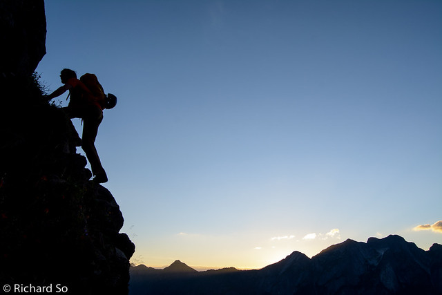
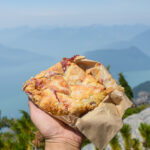
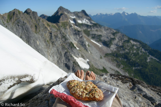
We soloed up the broken terrain until reaching the Beckey Ledges, right of the direct variation up the headwall. We trended right, up, and then back left into the 5.8 layback crack below the bivy ledge. There are few better places in the world to enjoy a delicious double-baked pistachio croissant.
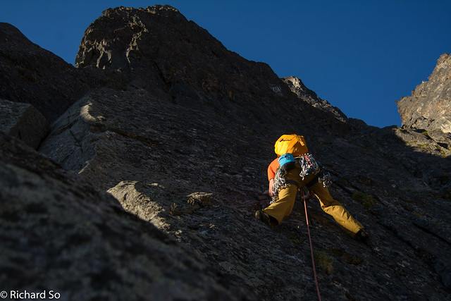
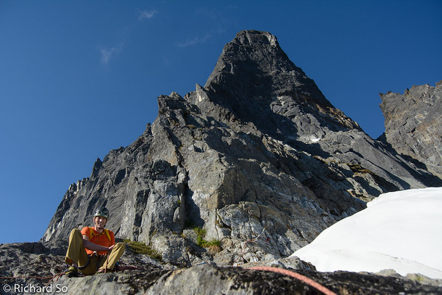
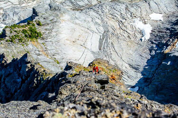
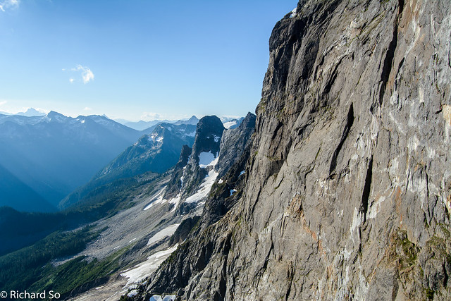
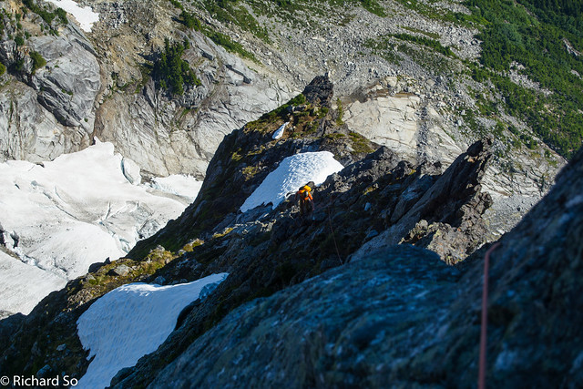
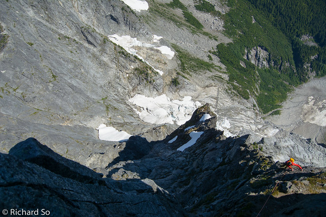
I took the next block, and we simul-climbed up to the base of the upper headwall. This is all easy 3rd to 4th class terrain, and the exposure ramps up towards the top. We climbed the headwall in four leads. The position is fantastic, climbing steep faces featured with knobs and incut holds. The climb follows the ridge crest, slightly to the right. There are nice ledges to belay from. We reached the summit after four and half hours of climbing. There is still snow at the summit to melt for water.

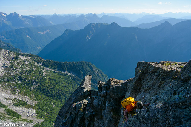
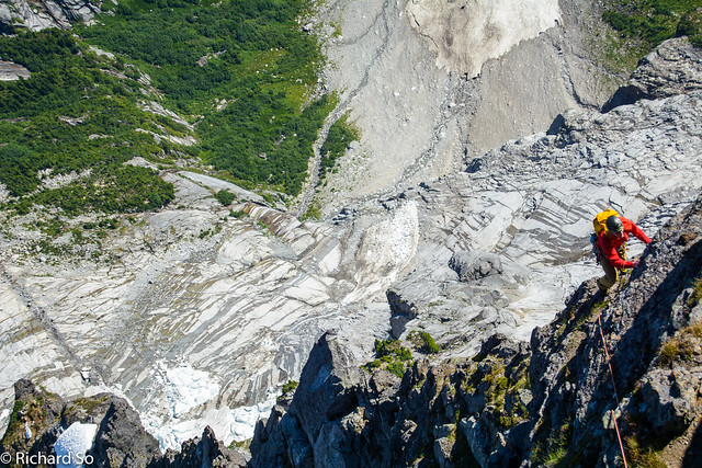
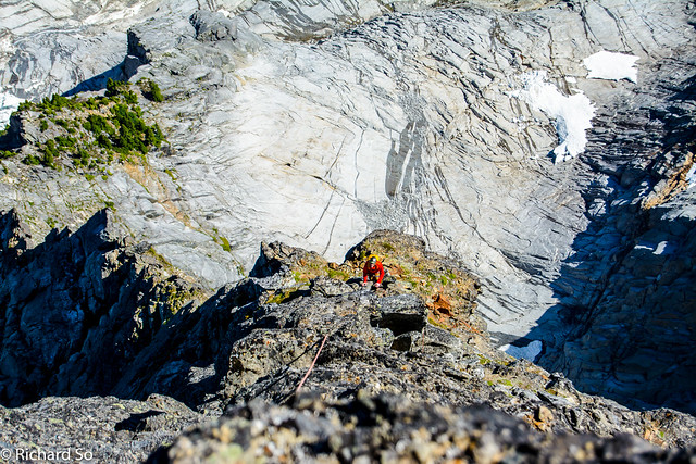
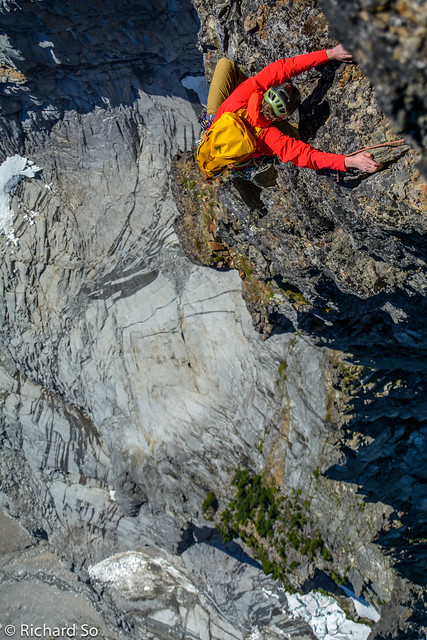
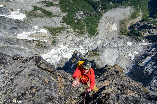
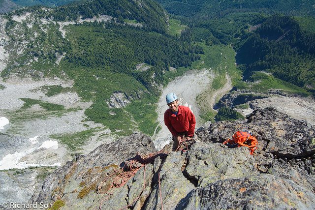
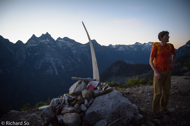
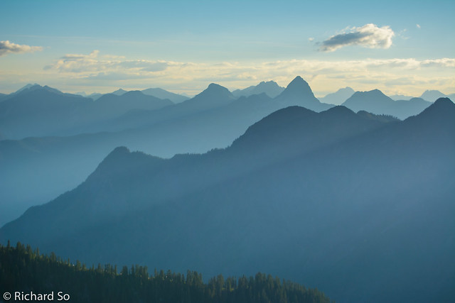
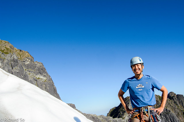
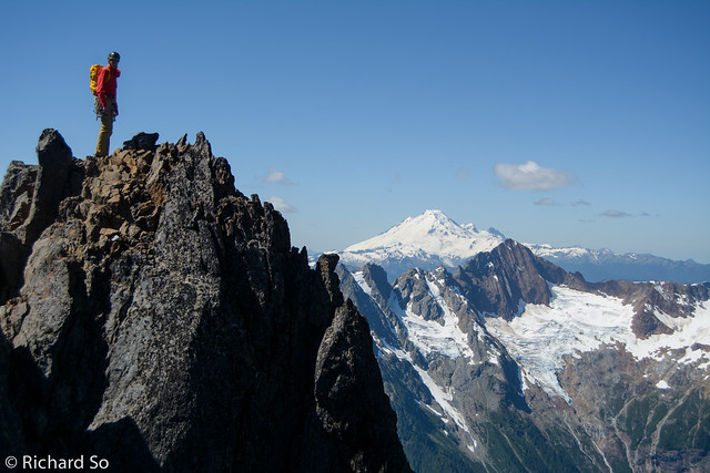
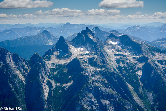
We lingered on the summit, roasting in the sunshine while staring deep into the mountains of the North Cascades. We were up there in the middle of the July heat wave. In the shade on the headwall pitches, with a slight breeze, I wore my light windbreaker while belaying in the shade. Down in Chilliwack, the temperature reached 35C that day.
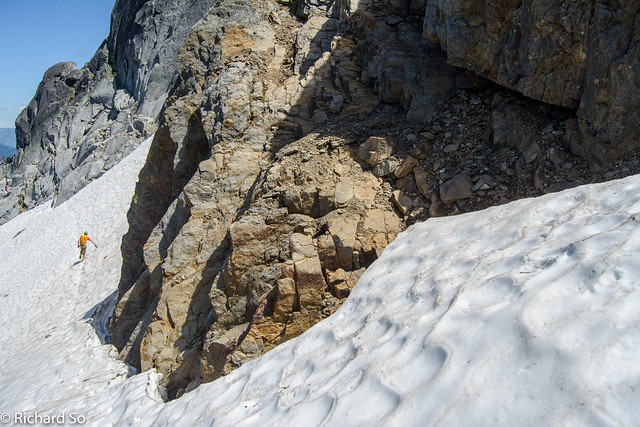
From the summit, scramble down a gully on the west side to the first rappel station. The rappel routes goes down the SW face. Two rappels drop you down to the top of a 5th class gully/chimney. Instead of descending that, continue along a well worn path to the right to the top of a slabby couloir. Either downclimb or rappel this (we rappelled). Continue to the right (north) towards the north col couloir. We decided to rappel down towards the scree here, instead of scrambling further into the couloir. This seemed like a mistake, as we made one 30m rappel, and then had to downclimb loose grassy ledges to get to another rappel station with old webbing on it. Another short rappel took us to the scree slope.
Crossover Pass Topo by Jeremy Frimer:
Anybody making a trip here should have a copy of this excellent descent topo printed and ready in their pocket for the descent. I made another mistake as we approached “Critical Routefinding #1”. It’s not entirely obvious which small col to aim for, and I went up to the one that was too high. There was even a cairn here, but I’m sure it’s the wrong one. I went across the gully on the other side, over the shoulder. So far, it matched the topo. But I ended up on some exposed grassy ledges, working my way down 3rd class terrain. Half way down, I noticed that the snow patch far to the my left. I was too far to the right, and had to traverse back into another gully and then down that loose gully to reach the snow. This would have been avoided had I traversed further on the scree slope earlier, and then aim for the col below the west side of the bump. Look carefully at the google earth image!
Last time, Nick and I traversed the grassy slopes. I remember they were terrifyingly exposed, and I was determined to find the rappel station that Jeremy described above. The station is just before the summit, with slings off a big block. With a single 60m rope, we reached the flat top of the gully, but weren’t able to make it into the next goat gully. We pulled the rope, and scrambled down into the scree gully.
The scree descent went by quickly, much better than what I remember it to be. I was sure to keep an eye out for the cairns and pink flagging leading to the descent trail through the forest. With Nick, we had gone too far down the scree slope, contoured in the forest, and finished with a horrific bushwhack through slide alder in the basin below the Memorial Plaque. There was no trail before, and I was determined to avoid another visit to the alder jungle. The descent trail is direct and steep, but soft and loamy underfoot. The trail crosses a creek at the bottom and then climbs back up to reach the trail/road. I ran back up the road to the right to retrieve our bivy gear.
During the approach, I told Paul that the So-Elson time was 14 hours from bivy to summit to car last time. He misheard me, and thought I said “Slow Elephants,” which is basically what Paul and I are. I’m happy to say that we were just slightly faster than last time, finishing in 13.5 hours this time, beating the FKET (fastest known “Elson” time). In Nick’s defence, we climbed the 5.10a variation last time.