July 4, 2015
The Pup Buttress is a full-value alpine rock route on Harvey’s Pup, a rock tower west of Mount Harvey in the North Shore Mountains. In 1969, Culbert and others climbed established this route up through imposing chimeys and overhangs. Back then, it was rated at 5.7, with some minor aid. I’ve been meaning to check this route since seeing it in the Alpine Select, which describes it as a surprisingly good rock climb. This route, along with the Northeast Buttress on the West Lion and the Widowmaker Arete on Crown Mountain form the trifecta of classic alpine routes on the North Shore.
I was looking for an excuse to taper for my trail race next week, and Nick Matwyuk was onboard for a weekend of climbing. My training program hasn’t really come together, as I actually started my taper way early in June and lost most of my fitness in the two weeks of circumnavigating Vancouver Island on a sailboat in the VanIsle360 race. Look forward to another long post-Kneeknacker report next week.
We started off in Squamish on Saturday climbing at the Fluffy Kitten Wall. The Wonderful Thing About Tiggers is highly recommended! Shady high north facing routes are the key to having fun climbing in this heat wave. Start early, and finish in a cold body of water somewhere.
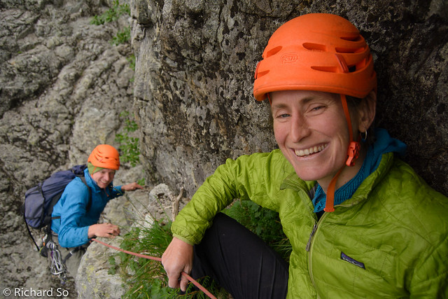
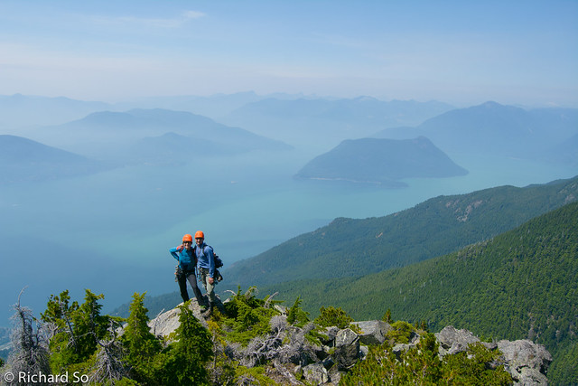
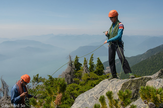
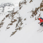
Early Sunday morning, I drove south to Lions Bay, watching an eerie glow in the sky from the Elaho and Boulder forest fires, where we met Lena Rowat. I didn’t know this beforehand, but her dad Peter Rowat and Dick Culbert made the first ascent of the north face of Mount Harvey, also in 1969. The route is described by Fairley as “not recommended”, and follows “lines of weakness up to low Class 5 rock” and “loose chimney without protection.”
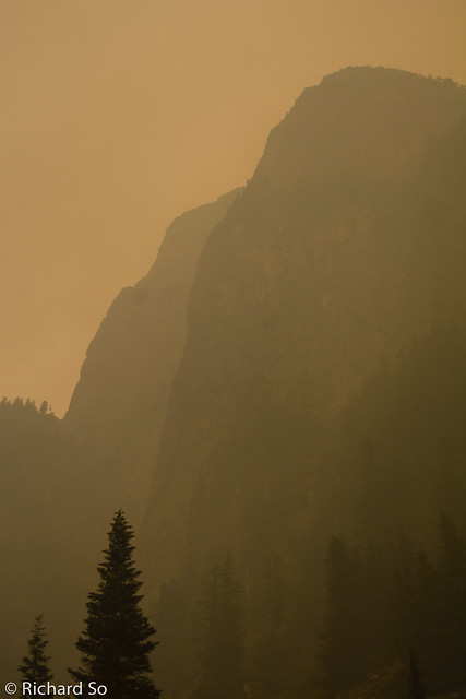
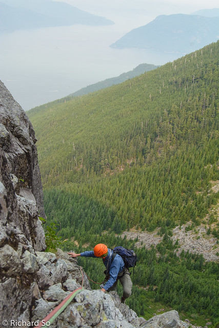
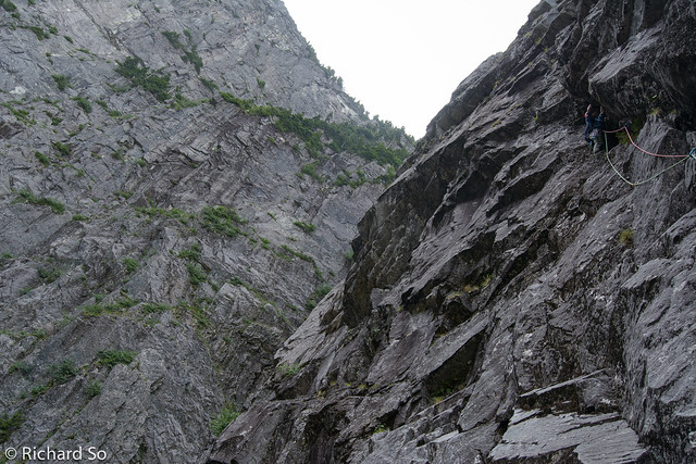
Eerie apocalyptic view of Harvey’s Pup. The route is just behind the further right skyline. The North Ramp route climbs up the approach slabs, then up the steeper slope out and left to the notch at left. I climbed that with Seth Adams on Feb 2009.
The climbing on Harvey’s Pup was generally good, and is worth checking out if you enjoy hiking to obscure climbs far from the crowds. The short drive, short approach, and interesting climbing makes for an adventurous day close to home.
“As long as people continue to think that alpine climbing is simply glorified hiking for people who lack the requisite talent for real climbing, middling alpinists like Rich and myself will be able to enjoy our remote and vegetated 5.9s in solitude.” Nick Elson

Approach:
Drive to Lions Bay, and park in one of the spots at the trailhead at the end of Sunset Drive. We arrived at 6am on Sunday morning, and took the last spot in between the cars parked overnight. There is limited parking here. Overflow parking is down the hill by the school.
Two hours of hiking gets you to the base of the route. Follow the logging roads, past the Brunswick turn-off, and then take the next left, marked “Mount Harvey.” This road is getting overgrown, and eventually crosses a big scree gully. The descent is down this gully, you can leave extra water or stash packs here. Cross the gully to the overgrown road on the other side (ignore flagging higher up), and eventually reach a boulder field leading to the approach slabs.
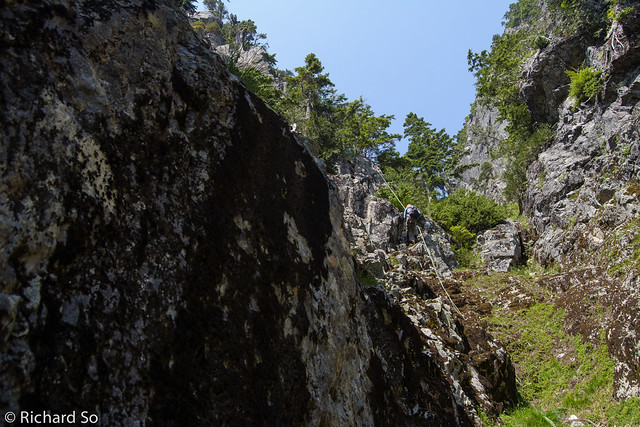
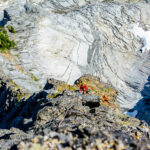
Continue up the 3rd class slabs, until almost reaching the “Great Gut,” the gully that separates Mount Harvey and the Pup Buttress. There is a flat spot here, and this is the base of the route. Another party recently climbed further left of the correct start, and had to retreat off a red dragon cam. If you look about 10 metres up a blank protection-less face, you’ll see it. Don’t go that way.
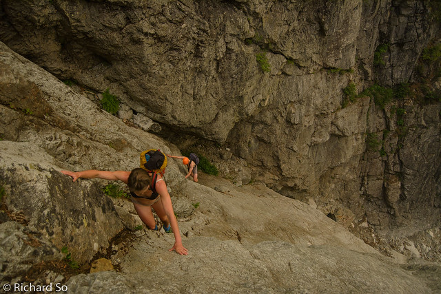
Approach slabs.
I think this is the correct start. Go up to that bush above Lena’s head.
Pitch 1:
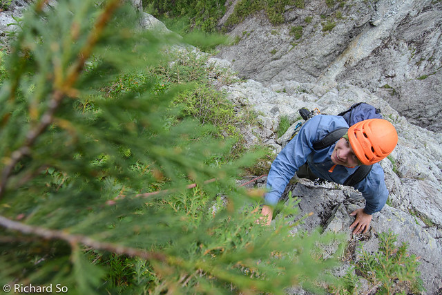
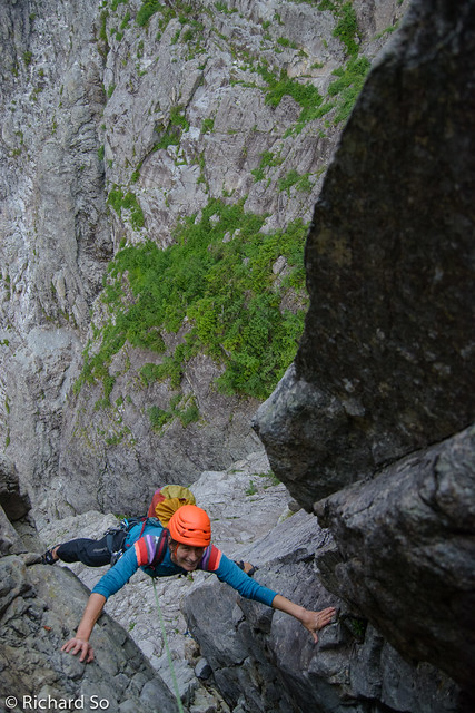
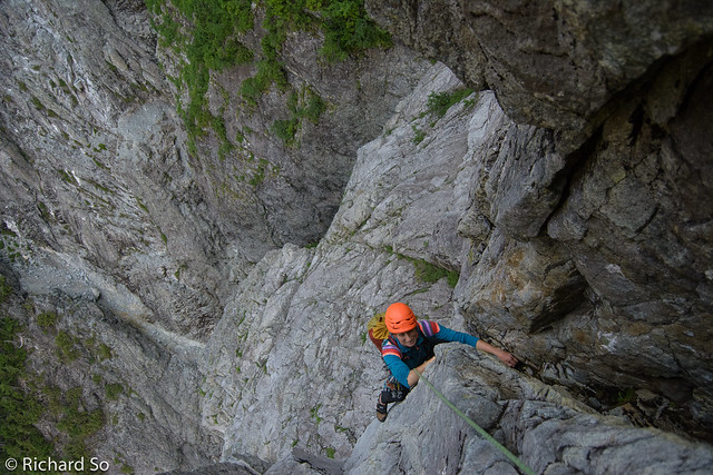
I took the first lead. The pitch is rated at 5.7, but felt more serious than that to me. Basically you need to climb up to a roof, and then traverse rightwards with slabby feet, and then pull on some steep flakes to gain a grassy ledge to a tree with a sling on it. I felt like the climbing was tenuous, and I was fiddling with small gear, and confused by the easiest way to reach the tree, making this pitch feel more serious than anything else on route. But I’m not much of a climber these days, so you might have better luck. I knew I was in the right spot, when I could see the big chimney that is Pitch 2, and belayed Nick and Lena up to my grassy ledge.
Grassy ledge next to the tree.
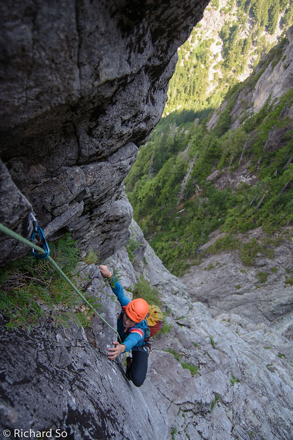
Pitch 2:
This is an awesome pitch, climbing a 5.8 chimney above the tree. I’m not particularly talented at chimney climbing, but with abundant incut holds and reasonable gear, this pitch was quite enjoyable, in contrast to the previous pitch. After about 40m of climbing, I exited the chimney and reached a slabby ledge, where I looked around in the compact granodiorite to find a spot a belay.
The last known photo of my blue tcu. If you see it somewhere on the approach slabs, be warned that it fell down from Pitch 4.
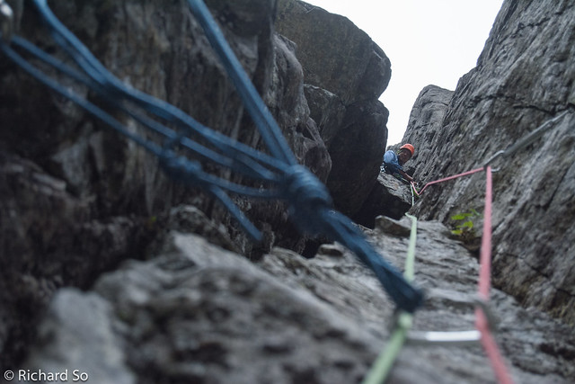
Pitch 3:
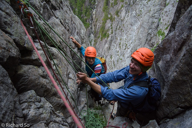
From the belay, continue upwards on easy slabby terrain to reach the base of the dark headwall with a chimney splitting it. There isn’t much gear here, but the climbing is very easy. I went straight to the base of the chimney, finding a good spot to belay next to a bush. It’s not a North Shore adventure unless you’re belaying out of a tree.
Pitch 4 and 5:
Nick took the next two pitches, and decided to link both of them, into one 50m pitch of 5.9/10a chimney and offwidth. Climb up the leftward facing corner. The crux is pulling through up and right into the chimney above. Nick did a great job of leading this, protecting it with small gear and ancient pitons while searching around for mossy jugs and incut holds. At the end of Pitch 4 is a three piton anchor with a blue cordalette and biner, leftover from a winter attempt on the route. Pitch 5 continues a short distance up through a 10a offwidth, which felt easy compared to pulling into the chimney earlier. Stemming is key on this route. Belay in a cave, at the base of a big chockstone.
Nick climbing the crux pitch.
Looking up at Nick at the top of Pitch 4/5.
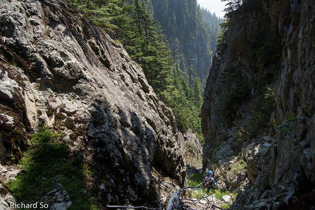
Wild North Shore terrain.
Pitch 6:
I climbed up the right wall, using a nice finger crack. There are pitons on the left wall also, and other parties have reported climbing through that side. Continue up the chimney until it turns mossy, and then head up and right into easier terrain. I had rope drag after 30m of climbing to the base of a grassy slope and stopped to belay. Otherwise, continue up the easy grassy slabs to short walls above.
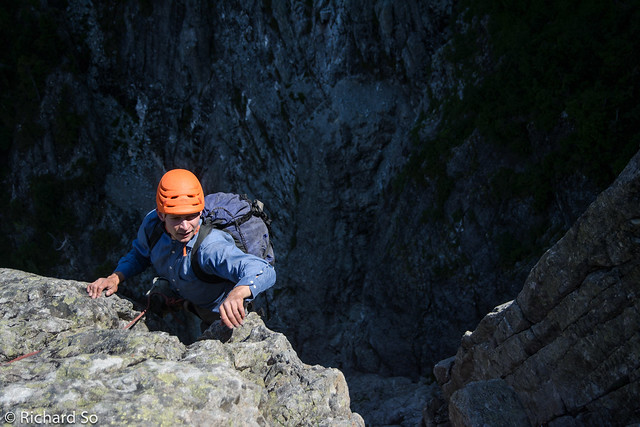
Leaving the shaded chimneys and into the sunshine.
I climbed the corner at left.
Pitch 7-9:
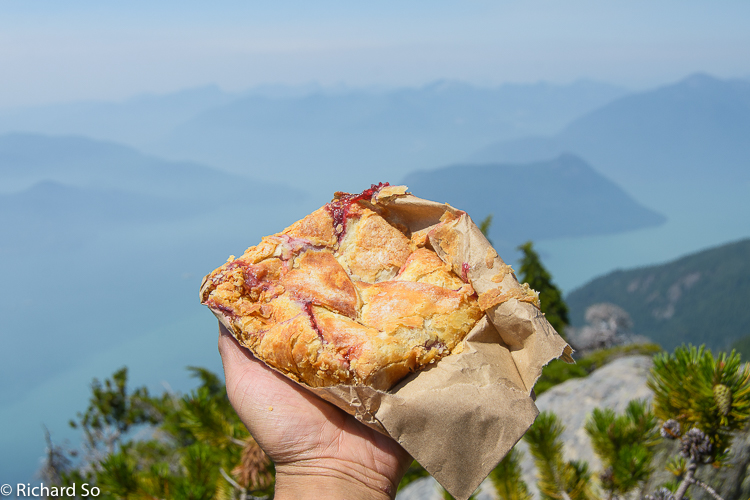
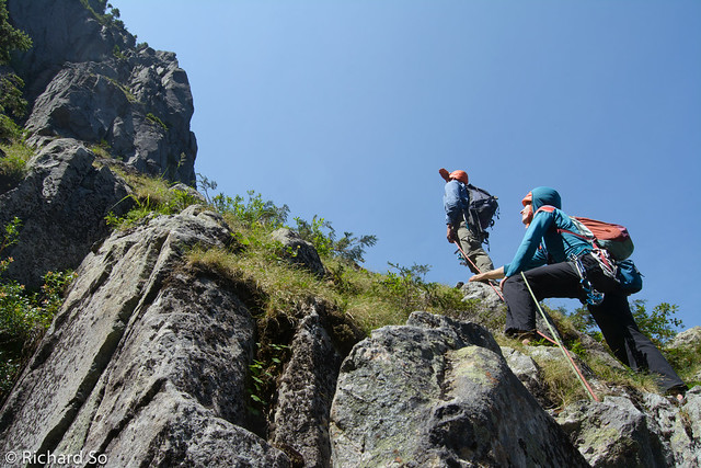
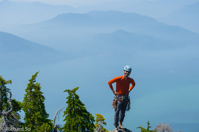
Another 3 pitches gets you to the top of the Harvey Pup. There are numerous options here, but the most obvious route climbed another chimney and then up some short cracks and up and over easy terrain to get to another belay. Repeat to the top. The angle eases off quite a bit, but there is quite a bit of loose rock compared to the previous pitches. Most parties will be comfortable simul-climbing this terrain to get to the top. The view of Howe Sound is awesome from here. We took in the view, and had some celebratory apples and pocket pie. Climbing time was around five hours at a relaxed pace.
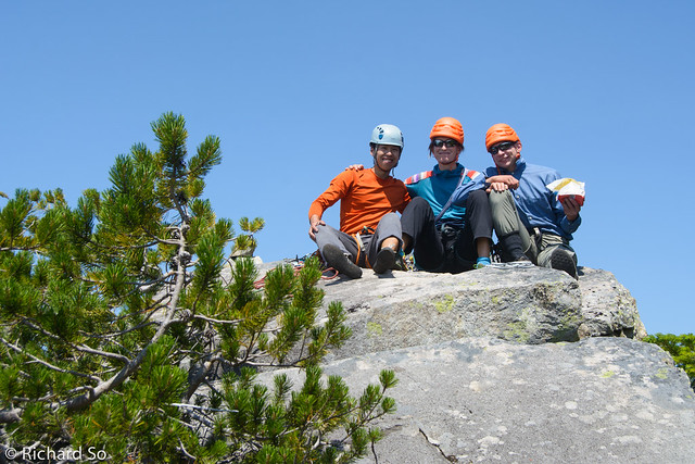
Yahoooo!
Rich
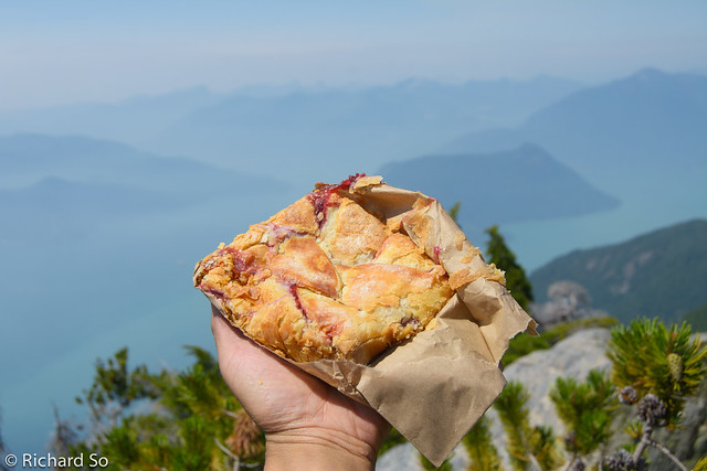
Raspberry pocket pie from Golden Crust in Squamish.
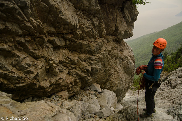
Sorting out ropes
Descent:
It was another 3.5-4 hours back to the car, making for a 11.5 hour day. The descent is not entirely obvious from the summit. Head towards the notch, trending skiers left and downclimb a slab, and then through bushes to reach a tree with a sling on it, at the edge of the steep dropoff into the notch. There are two options to rappel here. Either make a 40-50m steep rappel directly into the notch. I tried this at first, but wasn’t sure if I could scramble out of the notch to the col (turns out you can). So instead, we pulled the ropes back up, and made a 20m rappel rightward along the ridge to another flat topped tree. From here, we made another 30m rappel down to the top of the gully.
This was the third rappel.
Heading down the gully.
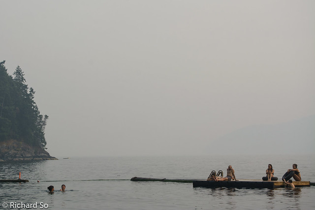
Continue down the gully on your right, until another short step in the gully. We chose to rappel this, using a tree on the right side. Continue down the unpleasant gully, until another short step. We also rappel this one. Everything else in the gully was easy to downclimb or hike down. This isn’t a place to be if there’s any moisture, as there are both mossy and clean slabs to descend. Follow the gully until you cross the road/trail, looking for purple flagging on the right. Finish with ice cream and a swim in Howe Sound.
No views due to the smoke.
Gear:
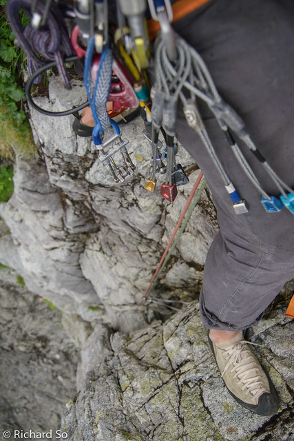
We were climbing as a party of 3, and used double ropes. We had a single rack from small cams to #4, doubles in the mid size, and a dozen draws. This seemed to work fine. There isn’t any water anywhere beyond the car. The start of the route is in the shade, but we were in the top near the top and in the descent gully.
More photos:
https://www.flickr.com/photos/richso/sets/72157653225373584
Other useful trip reports:
Jade Littlewood, 2016 – Full on wet conditions, not recommended!
Nick Elson, 2011
Coastal ‘shwack 2013
Richard, found your blue tcu yesterday! Clipped it to my pack only to discover io had fallen off on the approach. It's destiny it to be infinitely lost and retrieved.
Hey Steve! Missed this comment! Good bye blue tcu!