October, 2010
I was looking for a fun place to explore locally, somewhere not too far away due to the short October days, somewhere that was on the map wall, and something that was midly obscure. Capilano Mountain fits those requirements perfectly. It’s actually quite beautiful once you get pass the logging roads and the steep trail through the forest. The alpine rambling up there is better than anything else on the the North Shore mountains, with lots of clean granite and tarns. I don’t know a lot of people who have been up here and rambled towards Capilano Mountain, though it seems to be on the back of everybody’s list.
The day started with a 30 minute drive north to Furry Creek. Turn off the highway at the Golf Course, but continue along the road going north for a bit, then turn right onto a gravel road. There’s a gate here, but it sounds like it’s rarely locked these days. The roads have changed slightly compared to the Scrambles book, but you’ll know you’re off in the wrong direction if you don’t end up crossing a bridge after a few kilometres. After the road got a bit steeper and rougher, we switched gears into our mountain bikes and continued pedalling up the road for another hour.
From the trailhead, we climbed steeply on a good trail through the forest until breaking out at Beth Lake. From Beth Lake, the trail continues up steeply again (did I mention this is the North Shore?) until breaking out onto a more sparsely treed ridge with good views of local mountains.
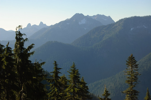
The trail continues along a bench on the south side of a ridge, with good views towards the Lions and Brunswick. At this point, a few hours into the trip, you still don’t get a good view of Capilano Mountain yet.
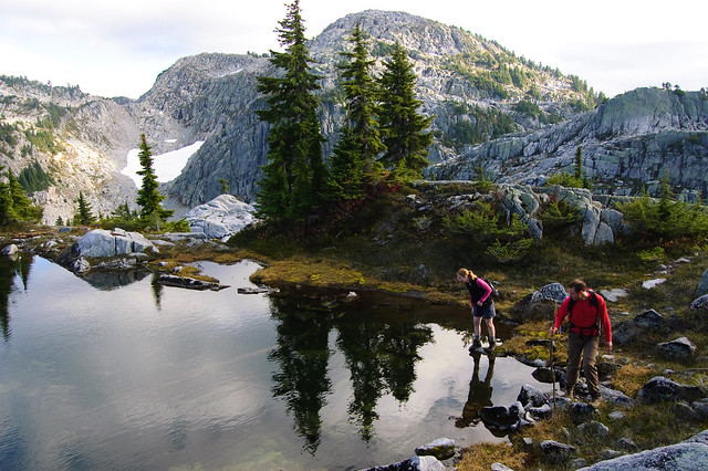
It’s never completely open, and there were always some patches of trees and to deal with in between these granite bouldery meadows and shrubberries.
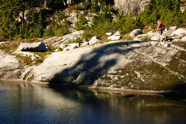
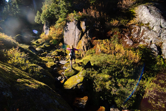
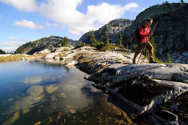
Lisa walking along one of the many tarns up in the sub-alpine area below Capilano Mountain.
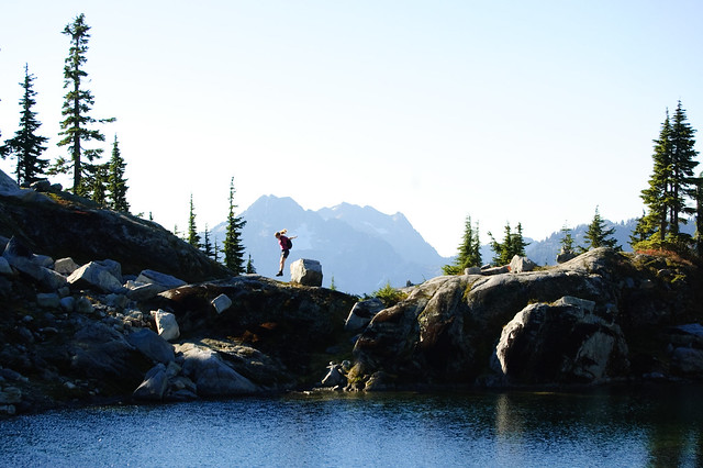
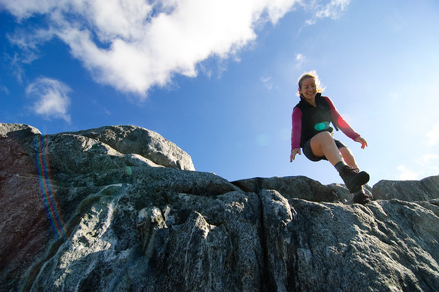
Lisa jumping above a tarn in the subalpine area below Capilano Mountain
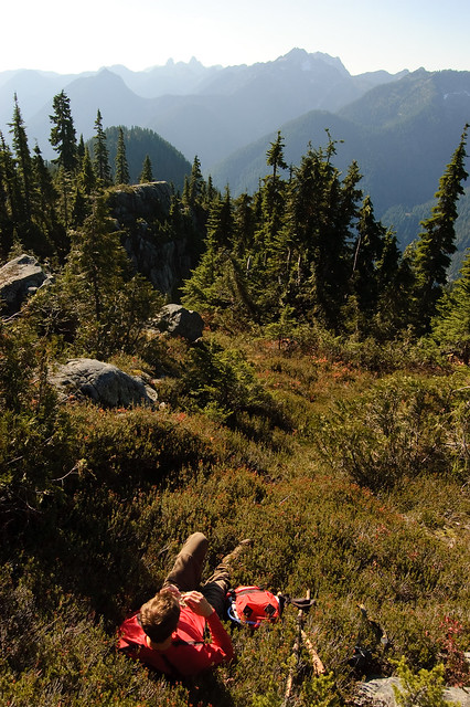
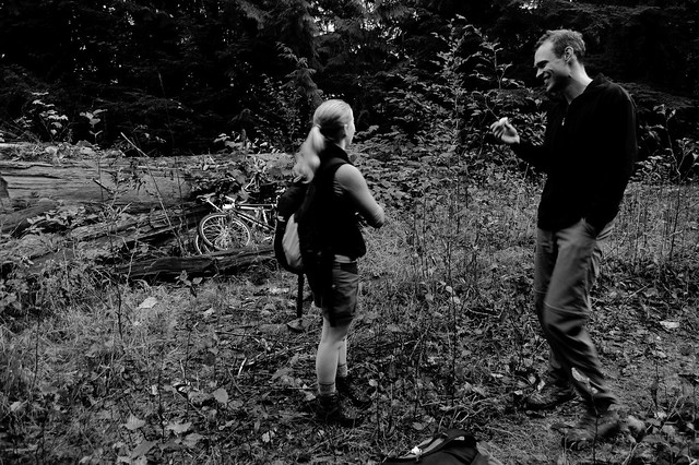
Just another rough day for Martin.
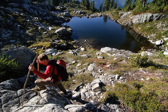
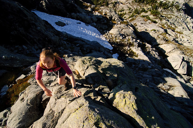
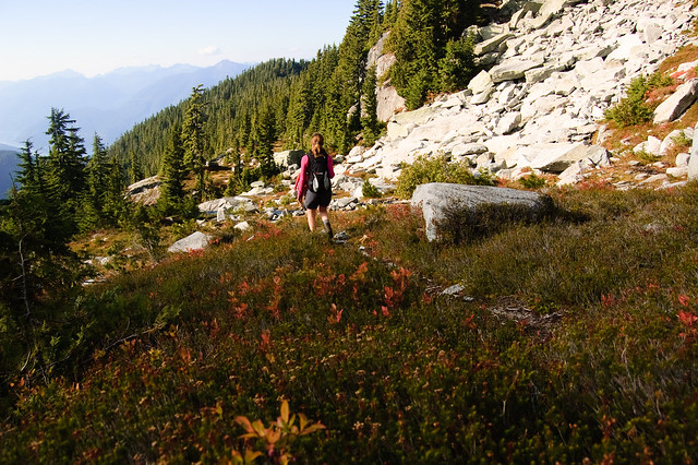
Lisa hiking up along granite ledges on the way up to Capilano Mountain
After passing through a few tarns, the trail becomes more indistinct. We went around the south side of a rounded bump, and then continued up through granite steps and blueberry bushes to get to the summit. I’m not sure what the easiest way up is, and some route finding skill would help here to avoid any unnecessary bushwhacking.
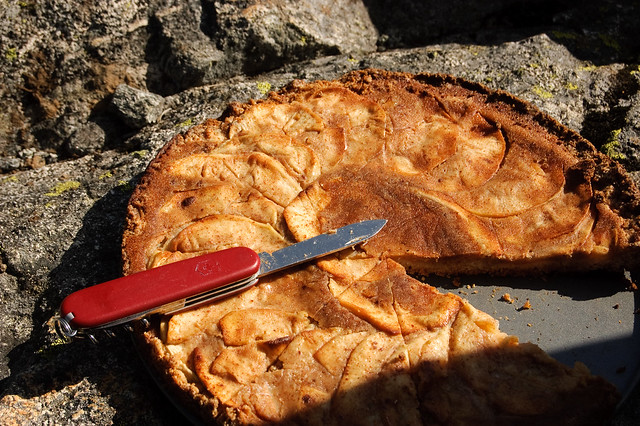
My apple pizza on the summit. Mmm. I’ll take this over a bagel sandwich any day.
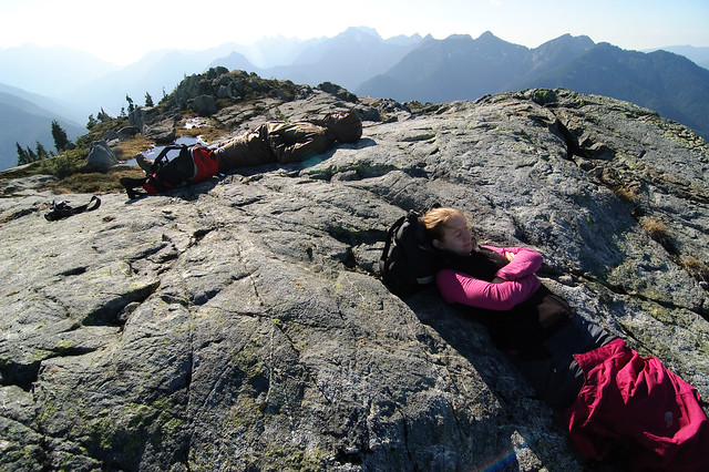
I convinced Martin and Lisa to leave Vancouver early so we would have plenty of the time for the trip. Now it was time to catch up on some sleep on the summit of Capilano Mountain.
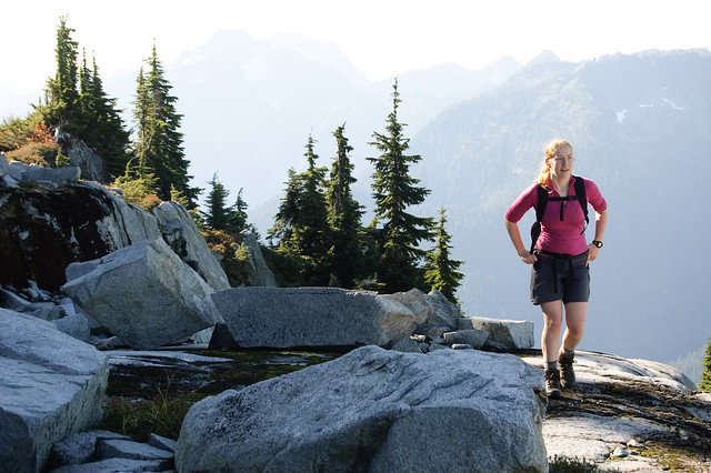
On the summit of Capilano Mountain.
Lisa descending one of the many granite steps on Capilano Mountain. Be sure to note where you came up, as there are some cliffs to avoid.
Capilano Mountain is visible above. We followed the granite steps and bush on the right side.
Unfortunately it started to get cloudy and cold, signalling that it was time to leave this meadowy wonderland. By the time we reached our bikes, our knees were getting sore from the steep descent. The trip was capped off by the exciting descent down through the overgrown road on our bikes. Unlike the access to Sky Pilot, I think a bike definitely saves time on the way up and down here. By the time we drove back to Vancouver, it was already raining, signalling the end of the scrambling season, and the start of the ski season.