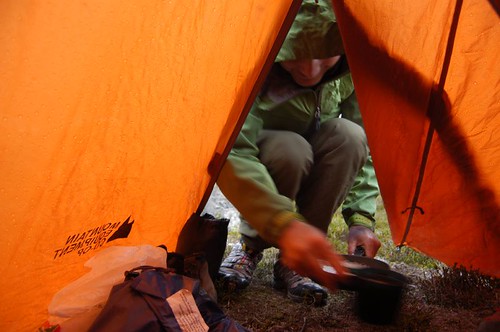
Matt Gunn, Dave Bishop, and I went back to do some rambling in Gott Creek. This time, the car battery didn’t die, and we didn’t get an ATV ride.
While driving up from Vancouver, the weather wasn’t looking very nice at all. Matt was starting to lose trust in his UBC Forecast, but once we drove past Cerise Creek, the sky was completely blue. We drove up the West Fork of Gott this time, which gains over 900m of elevation from the highway. Access to the alpine in the Duffey is amazing!
Somehow we missed the trailhead, and ended up following some “recreation” flagging. Eventually we clued in that we were actually following a snowmobile route, when we realized that the flagging was way above hiking level, and the trail was named something like “Bob’s Line” or “Gnar-fest.” Actually I made up that last one. Once you break out of the trees, you get into a really nice open basin.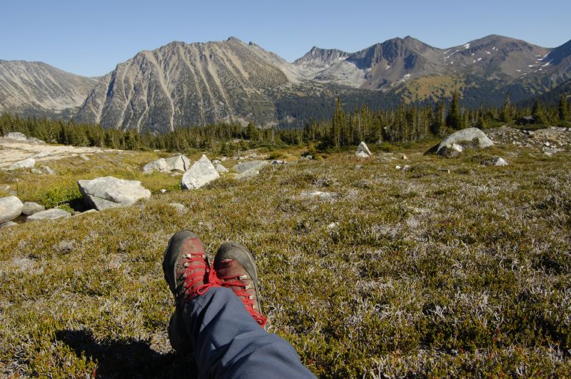
Life could be worse.
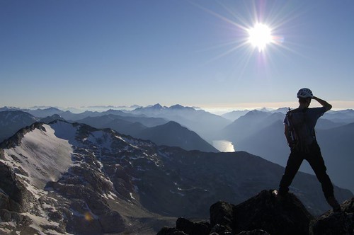
There’s a really nice lake at 577848. From the lake, we hiked up the talus slopes to the north, and continued along a nice ridge with some good scrambling. I’m not quite sure if the peak that we climbed has a name or not. Regardless, the views were quite spectacular from the top.
Stormy lights setting the mood.
We were thinking of climbing Moomin peak the next day (another obscure peak unofficially named). Unfortunately, it started snowing and raining the next morning. I’ve had my fill of whiteouts on summits, so we hiked out instead. The UBC forecast said it wouldn’t rain until noon, and that there wouldn’t be many clouds, so I guess it’s not that accurate. We found the trail this time, look for head level flagging, and not the ridicously long flagging that the snowmobiles hang up. We built a cairn at the bottom of the trail, so maybe future parties won’t have to hike the “Gnar-fest.”