The Lizzie Lake Cabin
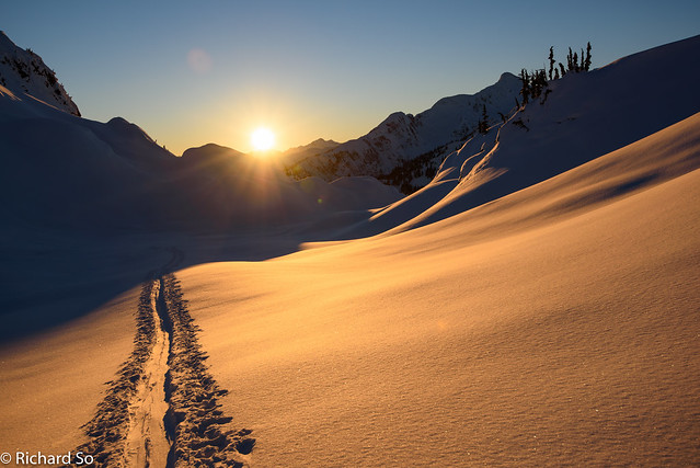
I knew we were close to the cabin, as we passed through the high rock walls to the right, down into the boulder fields. There was a scent of wood smoke in the air, and we simply had to follow our noses straight to the warm fire. I’ve only been to Lizzie Creek once before on skis, also on a New Years trip. The last time I was here, we skied up from Lizzie Lake through the steep forest in the darkness. I remember following Scott up by headlamp, as he broke trail, sometimes taking a creative route along and through lightly covered deadfall. This time, we took the recommended winter route, which follows the right side of the creek.
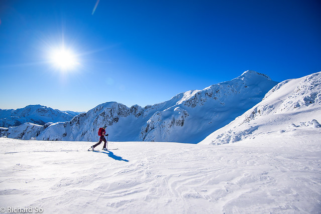
As I’ve detailed in this earlier post, I’ve done some work on the Lizzie Creek FSR, but the road is still an unpleasant alder-bash. From Pemberton, I drove down the icy Lillooet Road, 15km to the Phacelia/Lizzie Creek turnoff. There was snow right from the turnoff, and I parked at where the old Lizzie Creek road used to go, before the washout. We skinned for a few minutes up the hill, where another car was parked at the trailhead for the bypass trail. It turns out this was Alex, Steven and co’s car, who had been up there for past couple days skiing and climbing peaks. Due to a wedding in Squamish the night before, I wasn’t able to leave for this trip any earlier. The ski conditions were as good as they get on Dec 30/31, with cold temperatures and a stable snowpack. The forecast called for a big inversion, with 2000-3000m freezing levels in the alpine, and cool temperatures in the valley for the next several days.
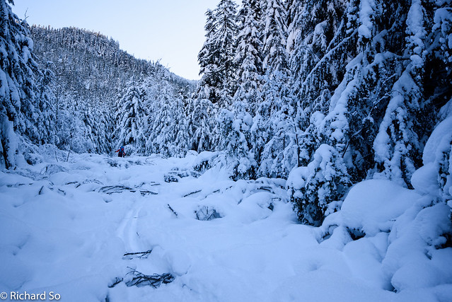
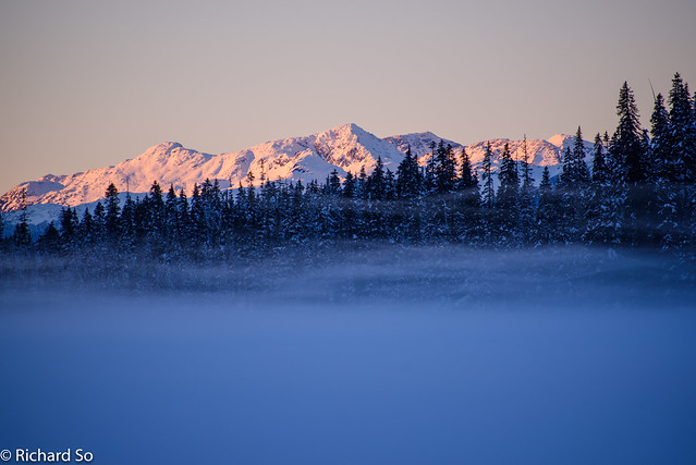
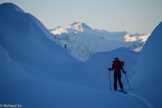
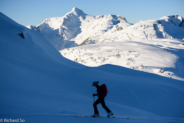
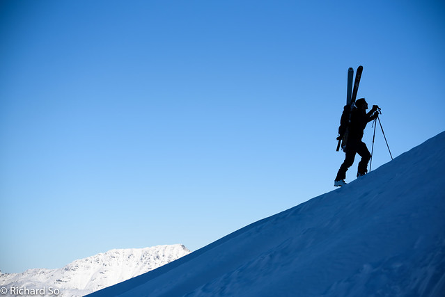
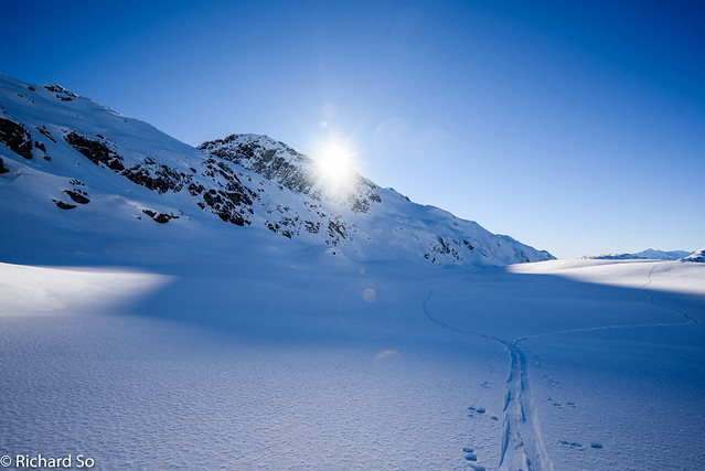
We hiked along the Bypass trail with skis strapped to the pack and then dropped down to the Lizzie Creek road. This was late December, so skis went on immediately on the road. Later in the year, I would expect to walk for a few kilometres up the road, and running shoes would be a good idea. Since my early November visit, more snow had fallen on the road and more of the alder had fallen inwards. I had my little saw with me, and I plodded along, trimming back the alder where I could. We made good time to the creek crossing over East Lizzie Creek, which was easy on the ice. I forgot that the Lizzie Creek valley faces northwest, and doesn’t receive much sunshine in mid-winter. While the sunshine kissed the upper reaches of the valley, we were down in the blue shade.
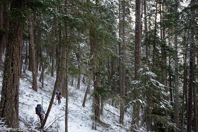
The Bypass trail
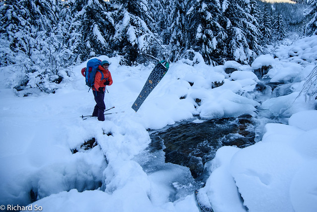
That’s one way of getting your skis across a frozen creek
 |
| Yellow line is the Lizzie Creek road. Green is summer trail, and blue is the winter route. Red line is the route to Cloudraker Mountain, and purple is the Long Peak day. Light blue lines are other possible ski lines. |
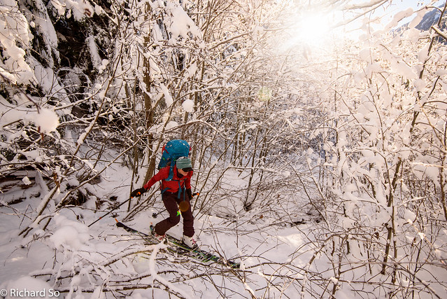
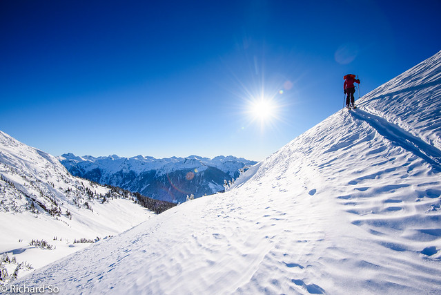
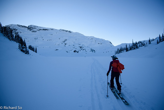
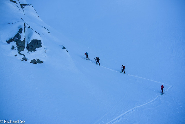
I warned the others that the next section up to Lizzie Lake would be bad after my experience in November. But seeing that Alex’s car was still there, meant that the road wasn’t fully impassible, you just need a bit of perseverance and appetite for Coast Mountain Bushwhacking. Sarah was charging along, as usual, and we accidentally went right up the Tao Lake Spur, at Km 7.4. When we lost the old skin tracks, that should have been a sign. The Tao Lake spur was more obvious, open but with a foot of snow compressing a jungle of alders. We plodded along, sometimes removing skis, and then I checked my GPS and realized our mistake. I couldn’t fathom skiing back down the road with the springy alders, so we traversed back along the dense second-growth, back to Km 7.4. It turns out that the road crosses a small creek here, and is quite overgrown. On the way back, I trimmed back the alder here, hoping that nobody else will make the same mistake. The next 3 km’s to the lake was a slog, with slow travel in some very dense alder sections. I was worried about getting to the hut before dark, so I saved the alder trimming here for the return trip. We reached the lake at 3 pm, which had a beautiful wispy fog above it. The air temperature was around -15C. The snowpack was thinner than my last visit here, and I was happy to be taking the open route through the boulder fields up to the Gates of Shangri-La.
Looks open, but horrible travel
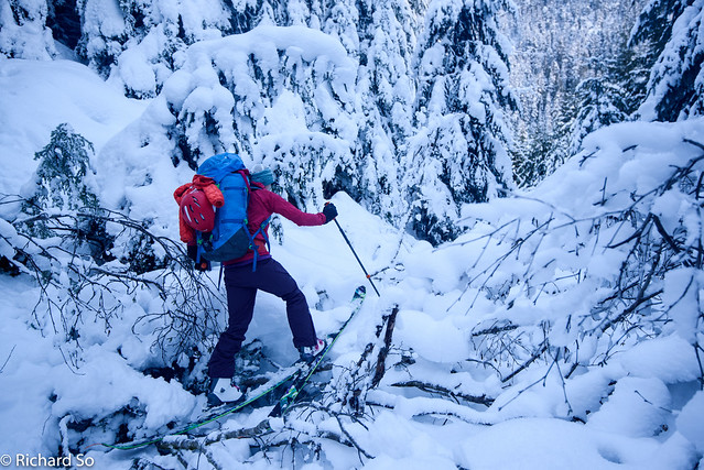
But Sarah charges on anyways
And back on the right road, but more overgrown?
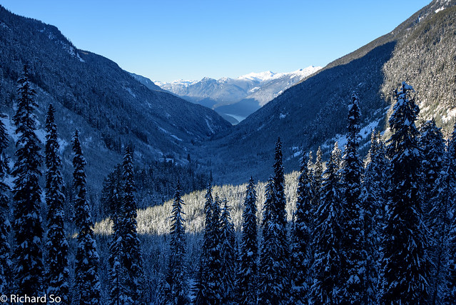
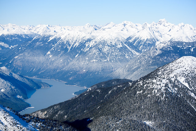
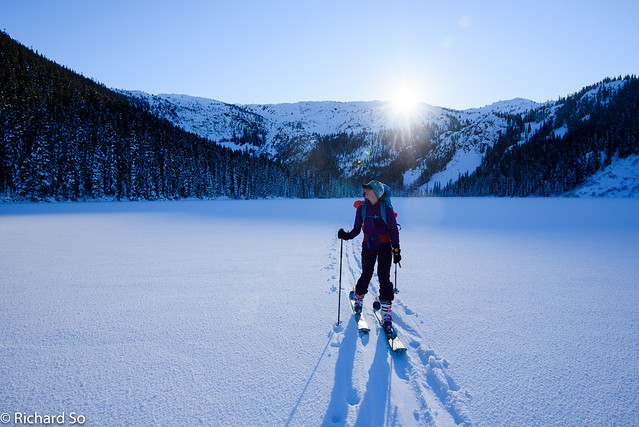
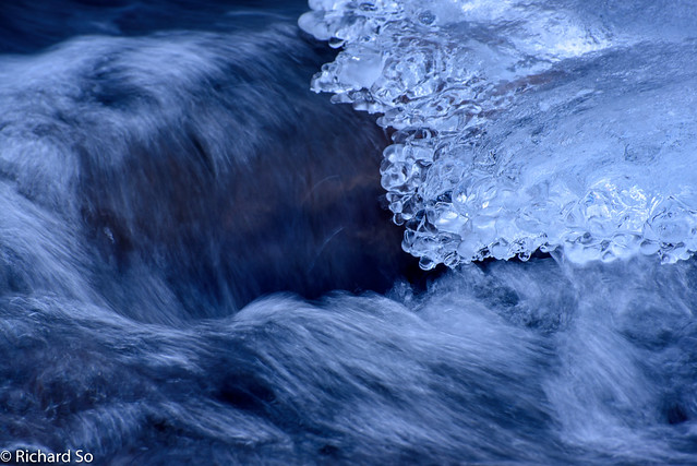
A long way from Lillooet Lake
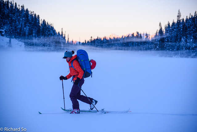
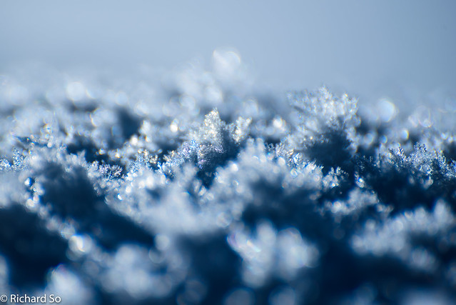
As cold as it looks
Cassiope and Saxifrage area
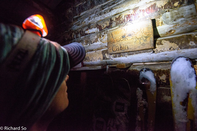
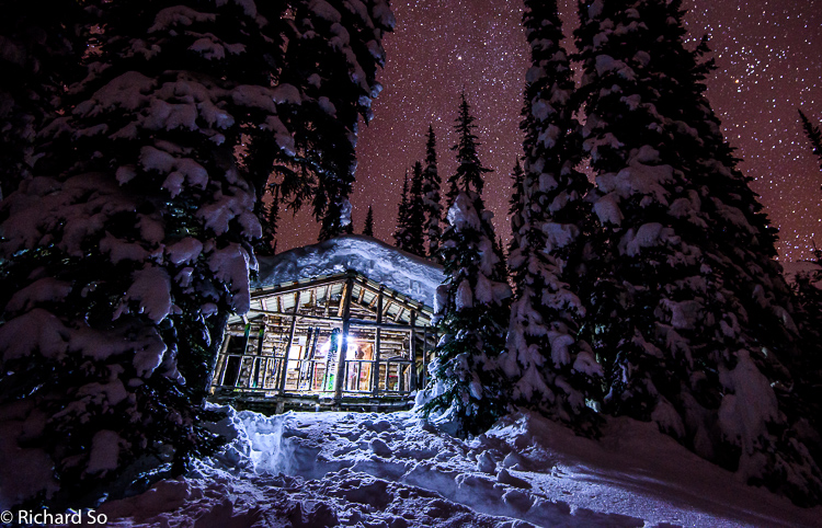
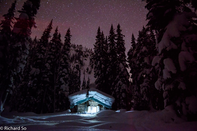
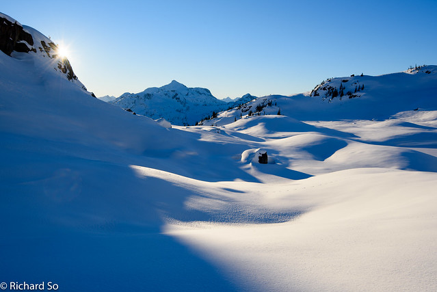
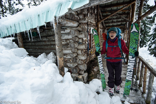
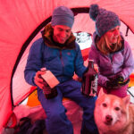
Home sweet home
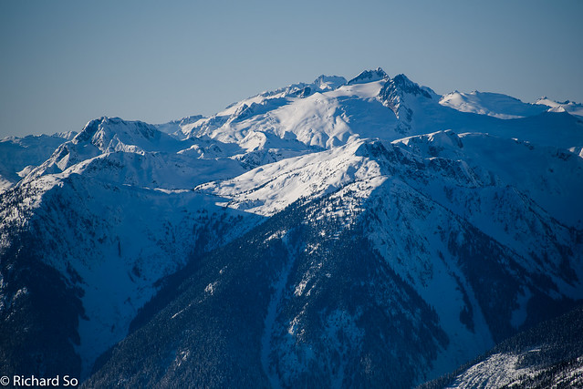
Inside the cabin, we met Alex, Steven and co who were unwinding after a few consecutive ski days. They had just spent the past week up here in a mixed bag of weather, skiing some nice powder in a whiteout and sunshine, and bagging most of the peaks in the area. I was happy to hear that they had already broken trail out to Cloudraker Mountain, an isolated summit west of the hut, rising high above Lillooet Lake.
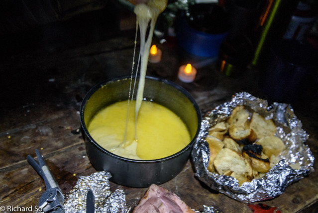
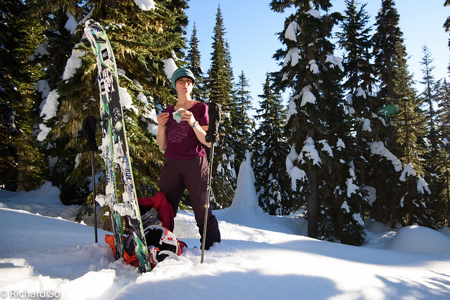
New Year’s eve fondue
 |
| Our route up to Cloudraker and then the descent into Rogers Creek. |
Sarah and Mount Pitt
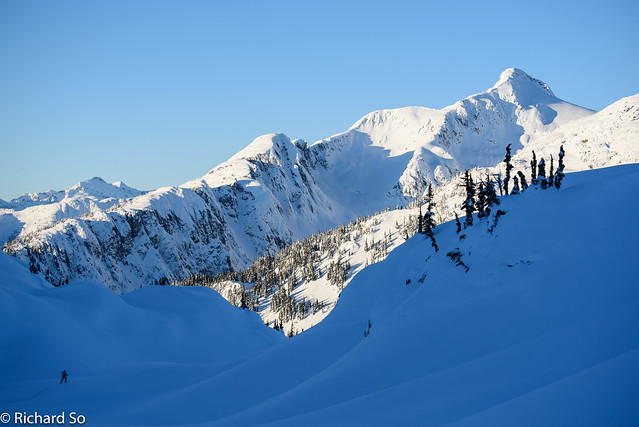
Feeling small with Cloudraker Mountain beyond
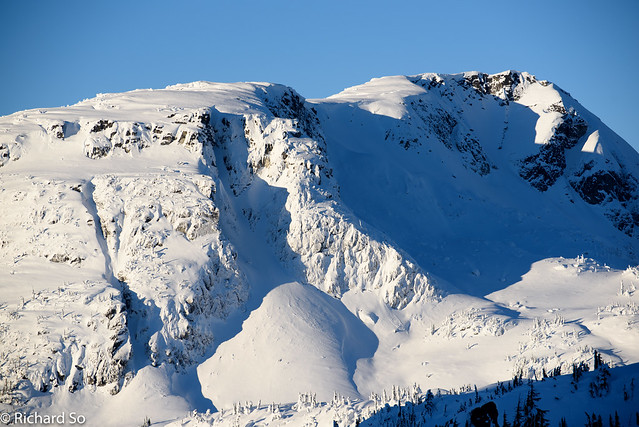
Shields Peak. You can ski that couloir.
More terrain
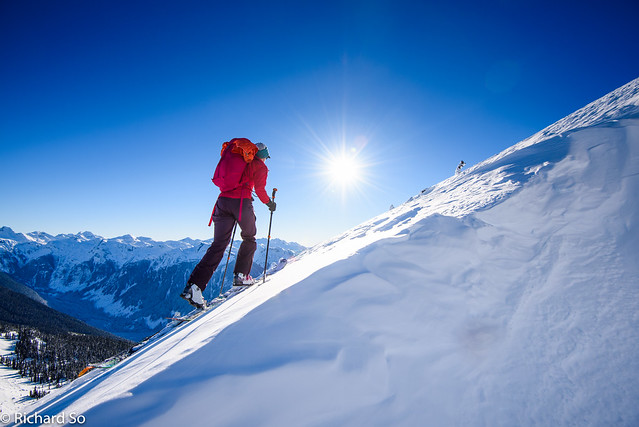
Going up to Famine Ridge
Dropping off Famine Ridge
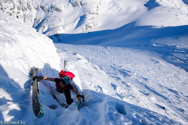
Short bootpack up Hanging Mist
Still going
You can see the cornice that we dropped off to the right of Sarah
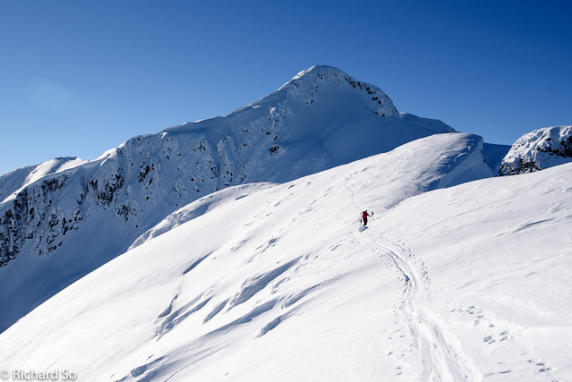
The steep climb up to the summit
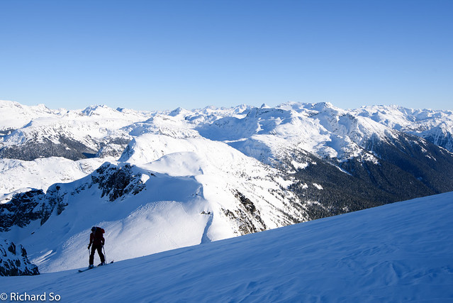
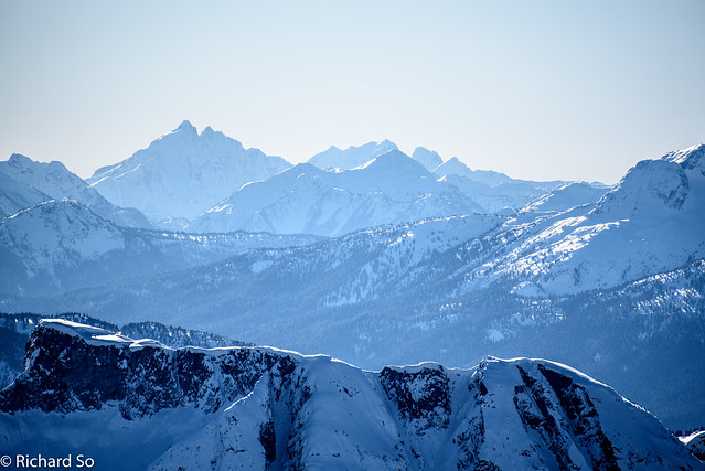
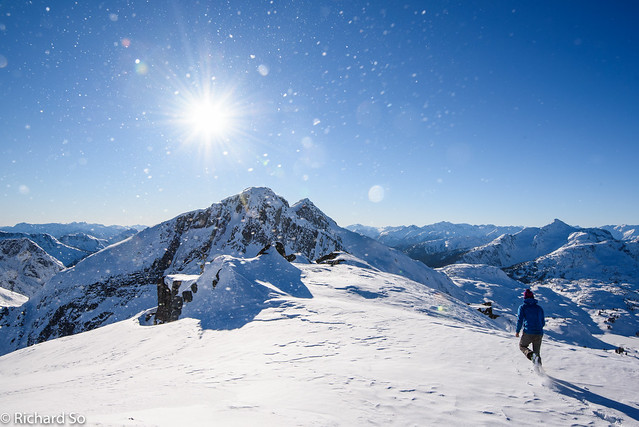
It was pretty awesome to be on top of this isolated summit on the first day of the year. There was no wind at all and mild temperatures, just perfect for sitting up here. There was excellent views west into the backside of Garibaldi Park, north towards the Duffey Lake, east towards the Stein Divide, and south to Mount Baker and Judge Howay. We reversed the couloir, and then switched back into skis. I was keen to try and ski down the east face, down into Rogers Creek, nearly a 1000m of skiing. The snow wasn’t great, a mix of wind crust, then sastrugi, and then firm icy snow. But I was skiing in an incredible amphitheatre. On every turn, I started up at the steep couloirs and rock buttresses that define the rugged east ridge. Our low point at 1450m, just before the Cloudraker spur road. The transformation of the snow pack was just happening now, as the cold air receded and the surface hoar melted in the late afternoon sunshine. We were accompanied by the sounds of tree bombs falling as we skinned back up towards the bench traverse south of Shields Peak. From the cut block, you want to climb northeast through open forest to reach the bench. We plodded back along the undulating terrain towards Long Peak. Cold temperatures prevailed here, and I glided through the soft snow back to the Lizzie Creek hut. While the snow in the alpine was a mixed of hardpack and windpress, the Long Lake outflow kept the snow cool in the hanging valley where the cabin is located.
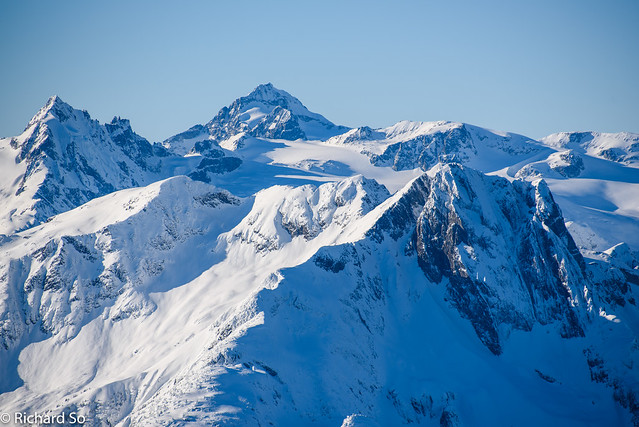
James Turner, north face and Wedge Mountain.
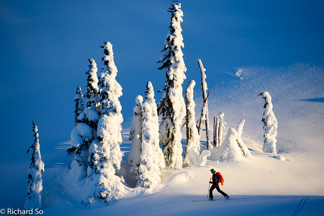
The snow was still hanging onto the trees in the valley.
First summit of the year!
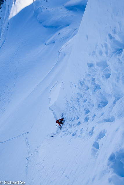
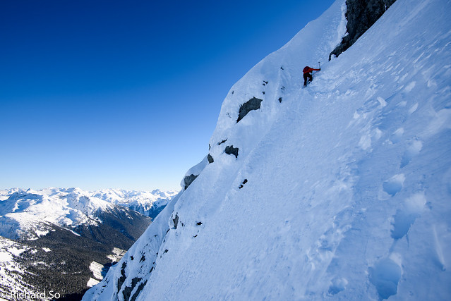
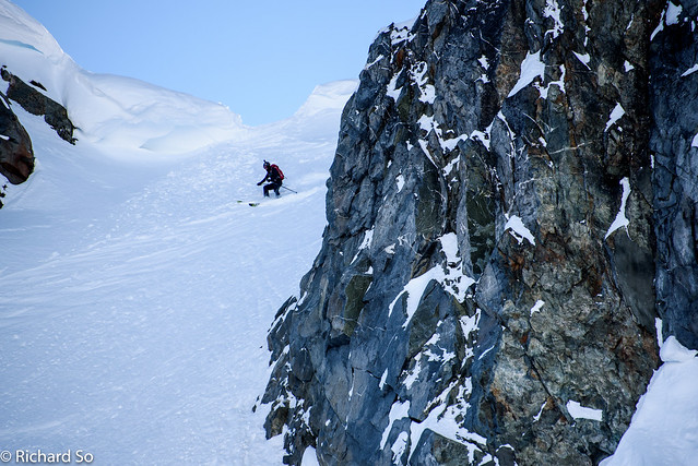
It was a little steep and narrow.
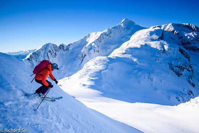
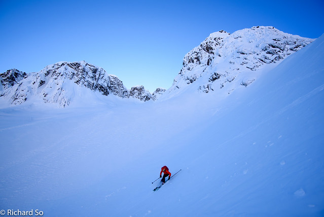 Sarah shredding the breakable crust on the east face.
Spring-like conditions on the south side.
Heading home
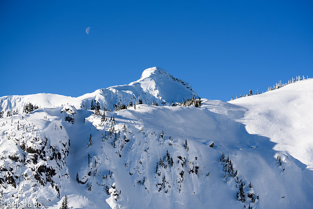
Long Peak
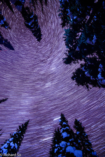
A few notes about the Lizzie Creek Cabin. The cabin was built in 1986, by a team led by Dave Nickerson. A few things have changed (new chimney pipe, new roof, reinforced centre beam), but this wood cabin has retained most of it’s original rustic charm, there’s no wifi here. The hut rules are simple: pack out what you pack in, close the door when you leave, only burn deadfall from the nearby slide paths in the stove, and keep the hut cleaner than when you arrived. If you through the logbooks, you’ll read way too many entries about the infamous Cecil, a giant mouse who’s taken over the hut at various points. As of Jan 2016, Cecil was not spotted. There are some saws up here, and if you wander above the hut, you’ll find plently of dead trees to use as firewood. Don’t try to burn anything green, you’ll just smoke out the cabin without warming it up.
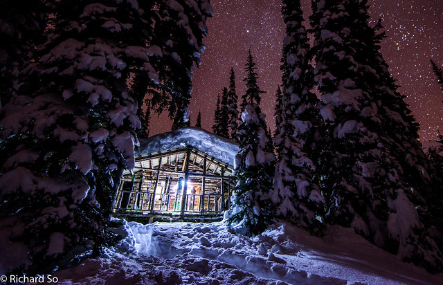
The Lizzie Lake cabin under a starry sky
I was shovelling the roof, just as Adrian and Mark showed up. Adrian had been up here two years ago, and spent Christmas eve huddled up with his friends in the forest just below the Gates of Shangri-La after a difficult time on the approach. They were stoked about getting to the hut on the first day and using the better winter approach. Over the course of the three nights, I worked on shovelling the roof. The cabin has a low-angle roof, and accumulates quite a bit of snow, nearly 1.5m. In 2010, it was noticed that the centre beam was cracking due to hte snow loading, and a reinforcement plate was added that summer by the VOC.
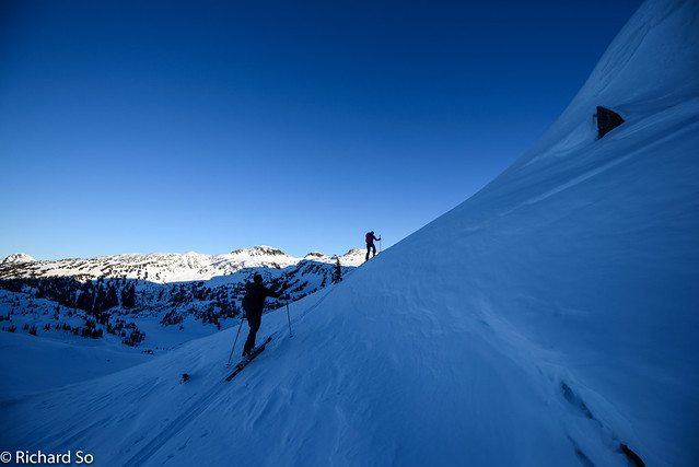
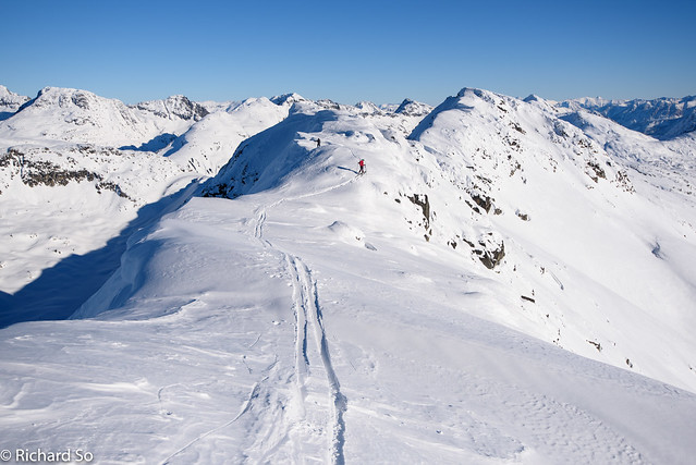
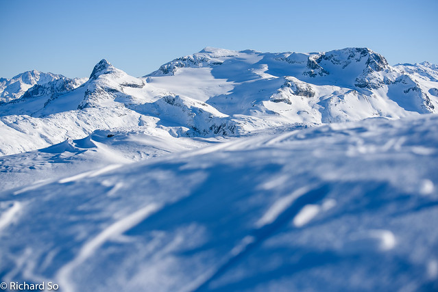
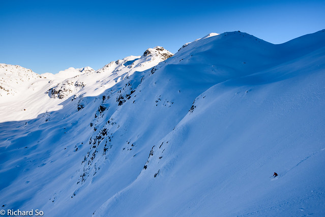
On the third day, we all headed up towards Long Peak. I’ve been up here before. The route goes along Long Lake and then up the long gentle southwest ridge, 2kms of ridgetop skiing. You can ski off the north face in a few spots, depending on coverage and cornices. The snow was poor, deterioried due to northerly winds, and the temperature inversion. On a clear day, you can see in excess of 60km in any direction from the summit. Our descent route was from the notch betwen the false summit and the main summit, guarded by a small cornice. I started digging away at the cornice, in the smallest spot, which I had scoped out from higher up. Sarah was right behind me digging and I could see the slope below, which dropped down at 35 degrees. I was digging too much, working from the back and didn’t realize that I was right on the edge. All of a sudden I broke off a small, one metre block of snow and also tumbled down with it, sliding down for about 5 metres. I bootpacked back up to the col, thinking how dumb that was. With my skis on my feet this time, I skied down the slope, avoiding a rollover onto rocks near the bottom and waited as the others descended. We skied some variable snow, and pockets of powder down into the Rainbow Lake valley.
 |
| Purple is my route up Long Peak, Tynemouth and Arrowhead Mountain. |
Crossing Long lake, with Long Peak ahead
Variable snow on the southwest ridge
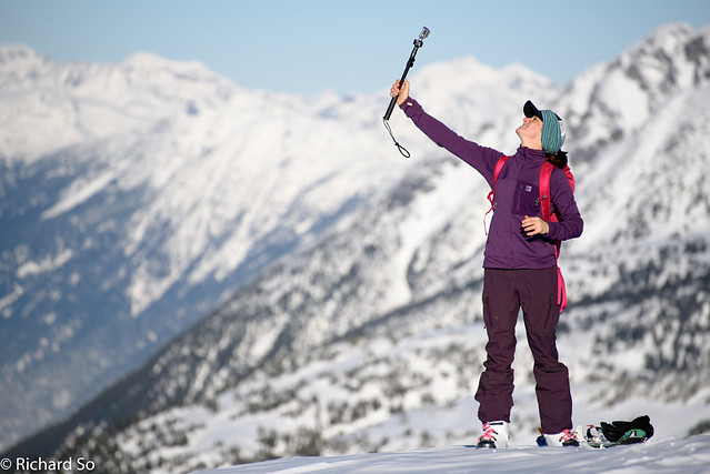
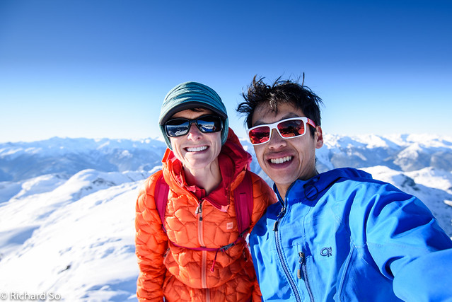
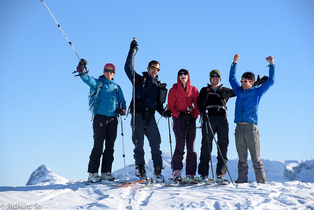
Selfies
A short bootpack on firm snow to gain the ridgecrest
And then a pleasant skin across the ridge top
Looking into the rugged terrain to the south, in the Rogers Creek area
Long Peak!
Mount Judge Howay
Mount Skook Jim
Mark drops into the north face
A pocket of better snow
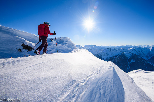
The others headed back towards the cabin to stock it with firewood and search for sheltered powder nearby. I decided to continue touring, as it was still early, sunny and calm. I followed the old skin track up towards the Arrowhead-Tynemouth col (also known as Moraine Pass), and then went right, over gentle terrain and finally a steep snowy arete to the summit. I sat up there, enjoying the great view across Rogers Creek, over towards Mount Skook Jim. I revesred the climb, and then skied over to a snow ramp on the southwest side of Arrowhead Mountain. It was warm and sunny, but all the new snow had already sluffed off the rocks and refroze, and it was a quick skin up. From the summit, I dropped into the short north face, first traversing above rocks and then skiing down smooth protected powder down to Heart Lake, and skipped over to Arrowhead Lake. Nearly every geographic feature in the area – the lakes, the cols and the bumps along ridges are named here. I picked up some dead branches, strapped them to my pack, and skied back to the hut. The air temperature was warmer than the last two nights. The trees were more green than white, the fire was roaring and the hut was well insulated with the blanket of snow on the side now.
Continuing up the valley solo
Summit of Tynemouth Peak
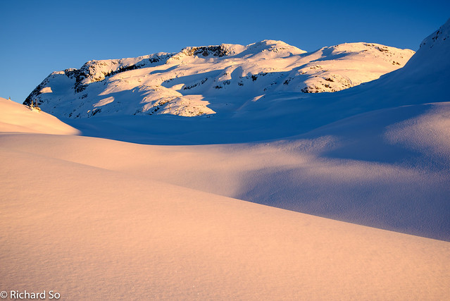
Beautiful light near Heart Lake
Turns off Arrowhead Mountain
My home for the 2nd and 3rd night.
Sarah is grumpy as always.
We left the hut was 9:30am the next morning. Everybody was keen to get back to the car, expecting a slow ski out due to the alder. Sarah and I made it down to the lake, and across to the other end by 10:45am. At this point, Sarah skied off while I was slower, trimming away at the alder. It’s not much faster going down, due to the alders, and everybody else kept their skins on. It wasn’t faster to go skinless, and I fell over a few times while tripping up on the alder, but my mohair skins are already worn out and I wanted to save them for a few more ski trips. The saw came out a few more times, especially near the junction with the Tao Lake spur where we got losted on the way up. I was down at the creek crossing at 12:45pm. I trimmed away some more alder, hoping that it would be better for the next party to ski up here. I wandered beyond the bypass trail to check out the washout, to see if a log that I used to cross Lizzie Creek was still there. It wasn’t. From the car side, it’s almost possible to cross Lizzie Creek on boulders to the far side, but getting back to the road side looked improbable to me. The skis went back on the pack, and I walked the bypass trail and back down to the car where the others were waiting.
Lizzie Lake
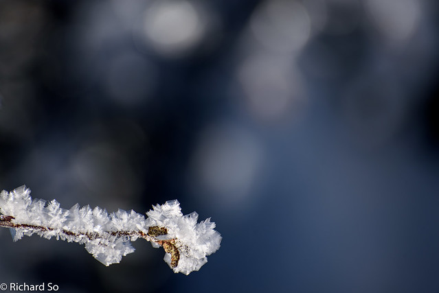
Widespread surface hoar
Lizzie Creek is a great place to go for 3-4 days, with a full day ski in and a half-day out. It’s also a short helicopter ride from Pemberton, making the fly-in and ski out a viable option. Mid-winter is a good time to ski here so there’s enough snow on the road to skin right from the bypass trail, but the short winter days means you’ll likely need a headlamp at some point. Definitely check it out, and let me know how it goes!
More photos here: https://www.flickr.com/photos/richso/albums/72157660901044054
Great Photos. We're going in with a new stove and pipe and a few other things to warm the place up and make it more comfortable and hopefully last for many years to come. Any suggestions on what the cabin might need as we will be taking in a net load with the helicopter. Do you have any more pictures of the inside, or any of the foundations.
Cheers
Brian
[…] Trip Report from my New Years Trip in 2015 with Sarah Hart My first ski trip to the Lizzie Creek Cabin with the Varsity Outdoors Club for New Years Trip in 2011 […]