
Feb 21 2015,
Late February was amazing for ski touring. It was weekend after weekend of ski adventures for me. The South Coast was siting under another ridge of high pressure, so I thought of doing the Powdercap traverse, a classic ski tour in the mountains on the west side of the Sea to Sky highway by Whistler. There are many options to access and exit from the Squamish-Cheakamus divide, which is a prime snowmobile zone in the winter. Luckily, it’s been a rough for snowmobilers, who run into overheating troubles on the icy terrain, and access to the alpine involves open creeks and bare dirts roads. I thought it was the perfect time to take advantage of the conditions, getting in a good ski traverse in an alpine area that’s normally heavily used by snowmobilers.
I convinced Sarah, Adriana and Marius, who were also keen for an adventure. This has been a season where it’s essential to be open minded about ski conditions, and willing to carry skis for a bit to get up to the snow line. Sarah was just coming off a full season in Patagonia, crushing mountains and generally getting strong. So it wasn’t a surprise that despite this being her second day skiing this season, with unmolded liners, that she was cruising along with ease. It was good thing she didn’t have an idea of how bad the snow conditions could be, or how far we were going today. Anybody else might have just turned around.
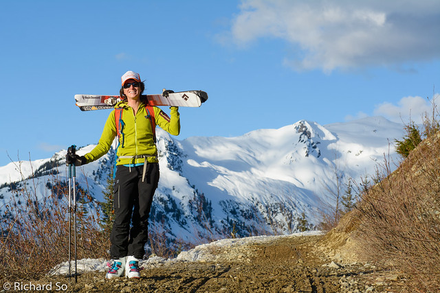
Sarah carries her skis for a short section above the car, on the Brandywine FSR.
The Powdercap traverse is just a small variation of many ski traverse options on the Squamish-Cheakamus divide. For this trip, we left one car at the Alexander Falls parking lot near the cross-country ski area, and then drove back down the paved road, turned onto the Brandywine FSR, and continued as high as we could, which was around 1000m that day. In a normal deep winter season, a route is possible along “Avalanche Alley” to the headwaters of Brandywine Creek, but this year it’s a snow free alder bash.
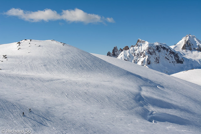
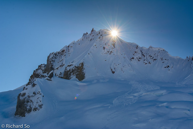
We followed the groomed snowmobile route right into the meadows, and then up the gully to gain the upper glacier. The slope was firm and icy, and ski crampons were useful. There were four of us in our group, and also another group of five skiers heading up the same slope. At the same time, a group of snowmobilers arrived, and one of them decided to go full throttle up the slope, barely clearing each one of us, scattered up and down on the steep slope.
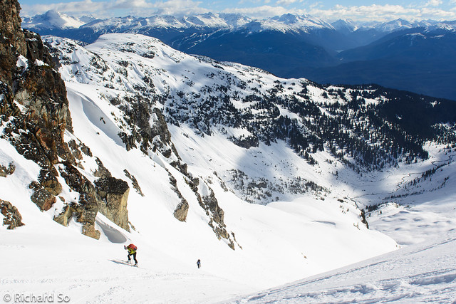
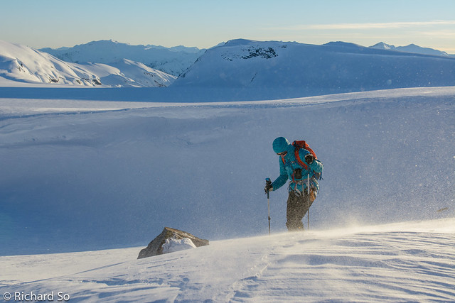
Climbing up the steep slope to gain the glacier.
I reached the top first, so I didn’t see what happened. But once Adriana caught up to me, she experienced her first scare of the trip. While climbing up the slope, a sledder zoomed past her, nearly reached the top of the slope, but lost traction. He flipped over, and pushed his sled away from him while it rolled around. By doing so, the sled changed direction downhill, and was now pointed straight at Adriana and Marius downslope. Luckily, there was a small wind lip between them, deflecting the sled safety away. We wished he just waited twenty minutes for us to clear the slope.
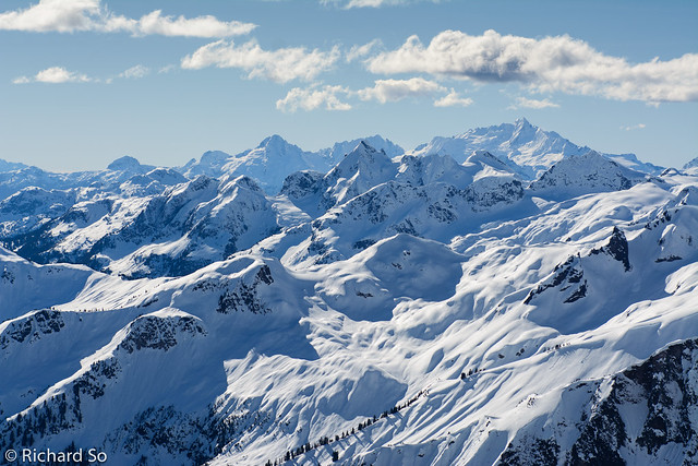
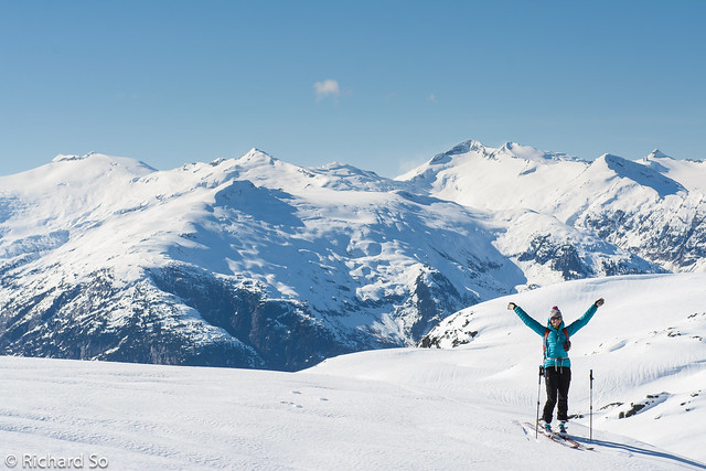
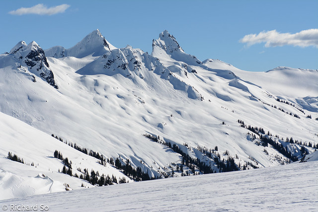
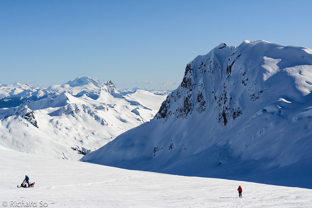
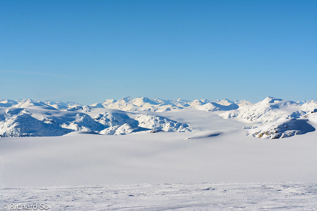
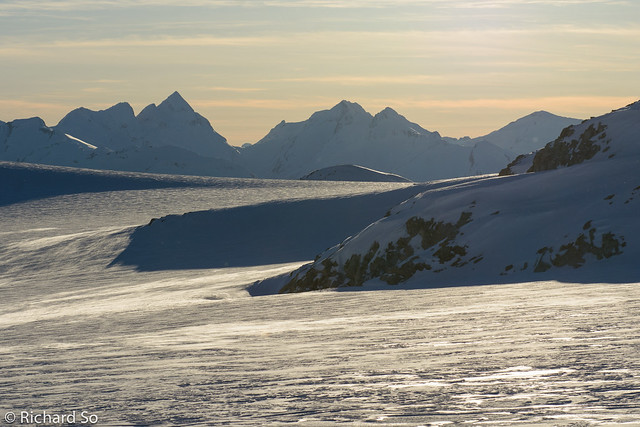
A view to the southwest, with the Tantalus Range in the background. In front of them are Tricouni and Cypress Peak.
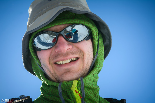
A reflection of Rich and Sarah in Marius’s sunglasses.

Thanks for the photo Sarah!
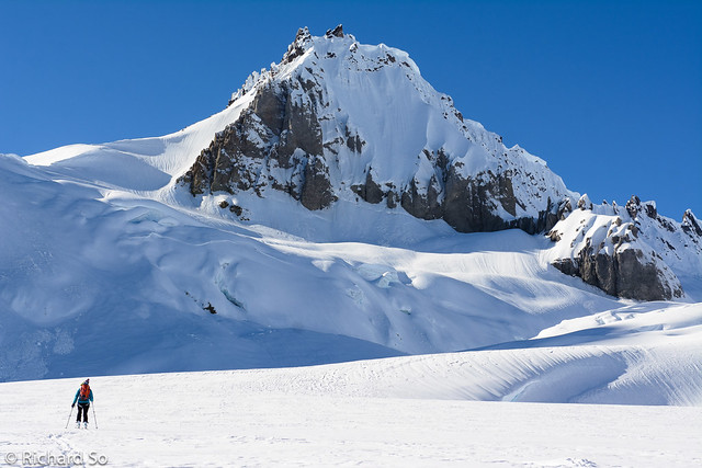
We continued past the summit of Brandywine, and worked our way to the west enjoying our first views of Mount Cayley. While descending to the glacier below Mount Cayley, Adriana triggered a small Size 1 windslab in a wind-loaded gully. She was carried downslope for 30 metres, with skis on, and stayed on the surface. She lost one pole higher up, but Marius found it quickly. I had made turns on a ridge nearby, on a firm melt-freeze crusts, sideslipping around cornice debris and then traversed underneath the slope to a safe spot. The avalanche bulletin for the day had warned about isolated wind slabs, in what was otherwise a low risk day.
Sarah and the Ashlu-Elaho divide.

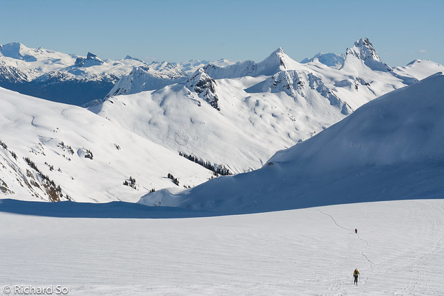
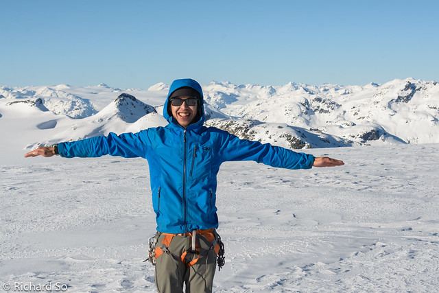
Sarah, with Ashlu Mountain, Vulcan’s Thumb, Pyroclastic Peak, and Mount Cayley

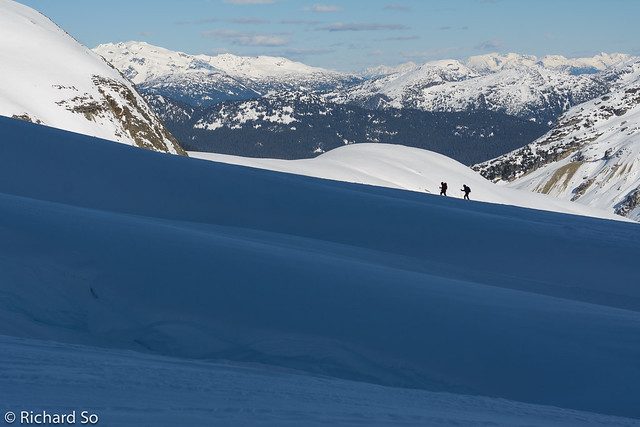
Sarah and Marius traversing towards Mount Cayley

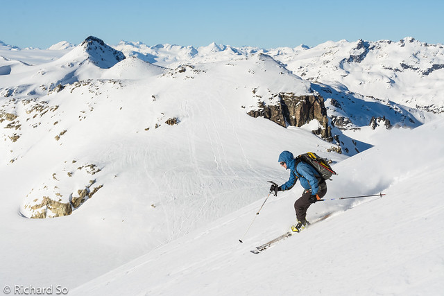
Making turns in variable snow. Adriana triggered a slide in the shaded slope at centre.

Sarah ripping down through the rain runnels.
After a short lunch in the sun at the toe of the glacier, we continued north, working our way across a minor crevasse field east of Mount Cayley. At this point, the sledders caught up to us and continued northwards. The east face of Mount Cayley is quite impressive. It’s steep, with hanging snow faces and flutes of snow exposed between the volcanic rock. The summit pinnacle was looking snow free, and cornices hung down from the north ridge.
East face of Mount Cayley. 55+ deg snow.
View towards the North Tower of Mount Fee. The higher South Tower is out of view behind.
Crevasses on the Powdercap Glacier east of Mount Cayley.
Marius and Adriana skiing up next to sagging crevasses.
Easy going terrain on the Powdercap glacier. In the background, you can see Castle Towers, the Black Tusk, the Sphinx, Garibaldi and Mount Fee.
East face and North Ridge of Mount Cayley.
Snowmobiler versus skier.
It was getting late as we reached the col between the two broad snow domes, the east one named as Powder Mountain. The whole point of today was to explore some new terrain, so I couldn’t ski past it and not continue to the top. The top was big and flat as expected. It’s an easily distinguished summit from all directions because of its unique shape. Marius and I skied north, enjoying a nice pitch of skiing down to break up the monotony of the flat glacier slogging.
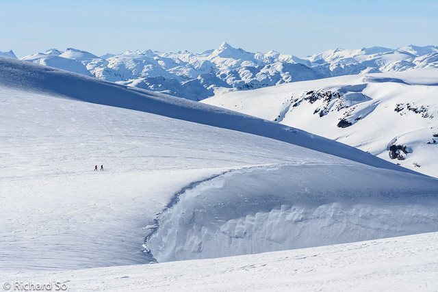
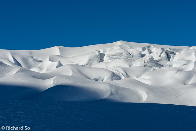
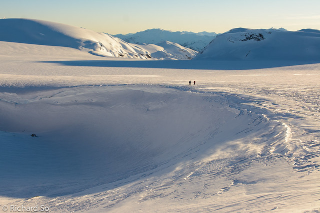
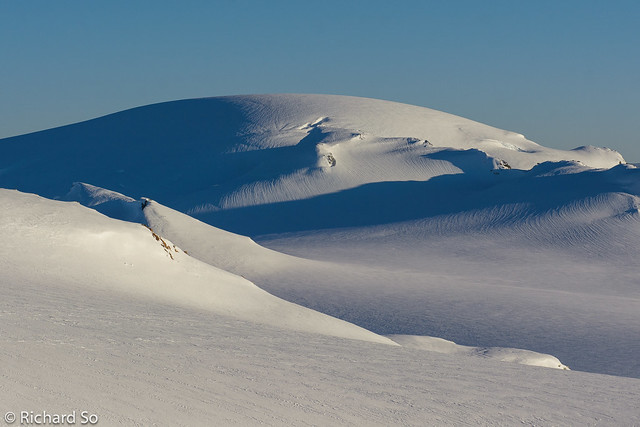
Sarah and Adriana traverse past a massive wind formation on the Powdercap glacier. The high pyramidal peak at centre is Mount Tinniswood.
Marius on the football field on top of Powder Mountain.
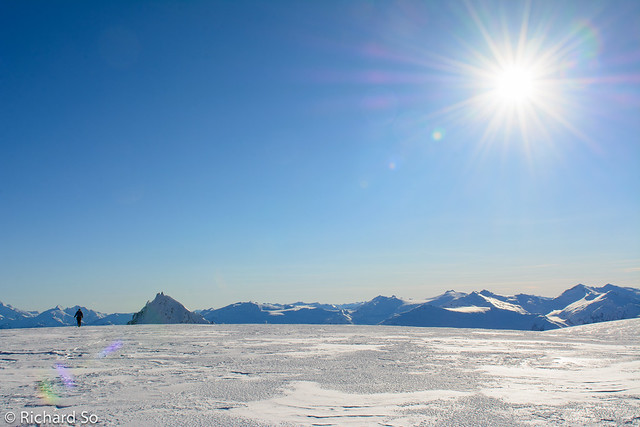
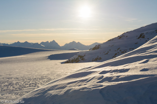
Looking north at the Pemberton Icefields.
This summit is really flat!
Marius skis off the top of Powder Mountain. There is an 800m ski descent in the other direction. I’ll save that one for another season when there is snow below treeline.
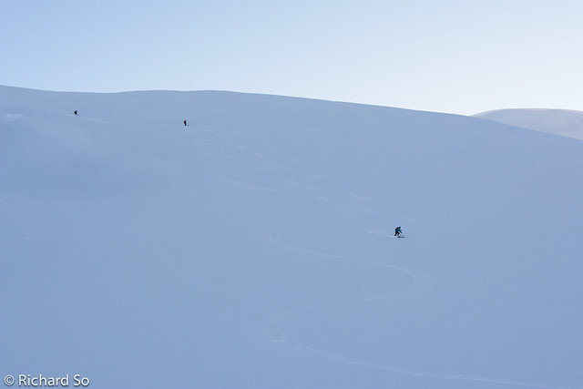
Marius descending. You can make out the snowmobiler tracks on the left. We were aiming for the pass on the right of centre, to the left of the rocky peak.
After a short break to boil water, we continued north along the flat glacier for another 2.5km to Banner Pass, just above the Solitude Glacier. The Solitude Glacier is a 900m run down into the Callaghan Valley. In fading light, I found good skiing on the upper half, and even a full pitch of creamy boot top powder. But the lower half was ice, a challenge to ski in the flat evening light. One day I’ll make an effort to spend some time up here skiing the amazing terrain. But that will probably have to wait until I can afford to spend a night at the luxurious lodge. I’m not sure what they think of dirt-bag skiers camping in the valley, but I’m going to guess it’s frowned upon.
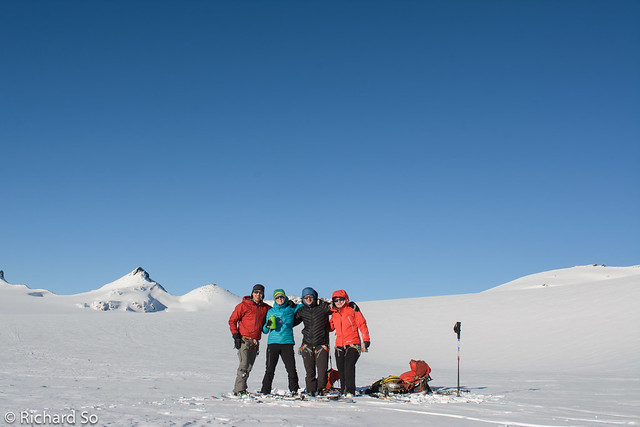
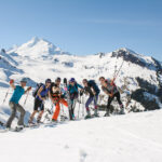
Group shot after our water break. Just a bit more traversing to go before we get off the high alpine terrain.
A view towards Ashlu Mountain.
Adriana and Marius on the Powdercap Glacier.
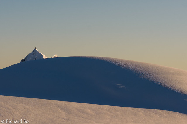
A simple image. The sharp summit of Mount Cayley is juxtaposed against the Saharan-like snow dune on the Powdercap Glacier.
Mount Ashlu, Limelight Peak and Mount Ponor.
Powder Mountain
Sarah approaches another windy col.

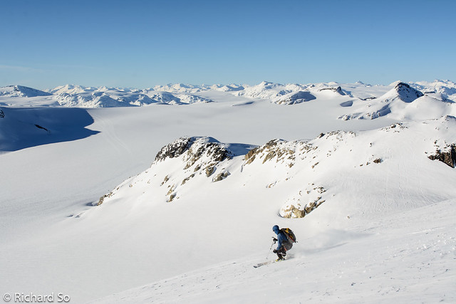
Sarah begins the descent of the Solitude Glacier, with Mount Callaghan behind.
Great skiing on this pitch of the Solitude Glacier, despite the flat light.
The route-finding challenge was over once we reached the groomed trails on the Solitude loop, leading back to the Callaghan Country lodge. With headlamps on, we skated along the Callaghan FSR in firm conditions under the clear starry night. Back in familiar terrain, it was refreshing to continue forward without worrying about navigation challenges. The last three kilometres to the base area was patchy, requiring careful snowplowing between rocks, and eventually just walking on dirt covered snow. The only thing left was a short hike back up the rougher sections of the Brandywine FSR to retrieve Sarah’s Forester.
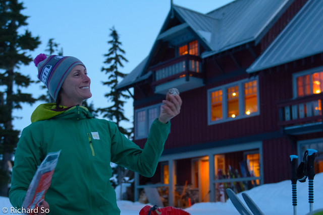
Sarah’s energy balls. There were some curious guests staying at the lodge who asked us where we came from, and how the skiing was.
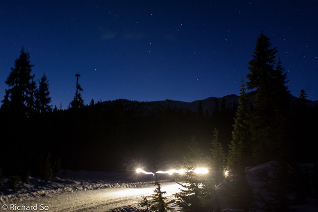
Night skiing in the Callaghan Valley.
This was a great trip for the conditions. It’s similar in difficulties to the Garibaldi Neve, and easier skiing than the Spearhead Traverse. There’s lot of interesting terrain to cover, and the joy of feeling small on a big classic coastal glacier cannot be understated. Go check it out!
Thanks for the report, the pictures, and making it happen.
Hey thanks! Glad somebody finds it useful!
Thanks, going to head up on Sunday via the Metal Dome approach from the Dog sled lot.